
Once we finished our first afternoon’s bus tour heading west from the South Rim Village, including stops at Hopi Point, Mohave Point, and Trail View Point, we took a stroll along the rim in the village itself. Back away from the rim are all of the lodges, parking lots, camping sites, and visitor centers. Along the actual rim are plenty of parks and open seating areas, as well as museums, theaters, historical buildings, restaurants, cafes, and shops. I started at the west end of the village just to the east of Kolb Studio and proceeded to walk east (a little bit uphill, not bad) about three-quarters of a mile, which put me up along the rim near the train station.
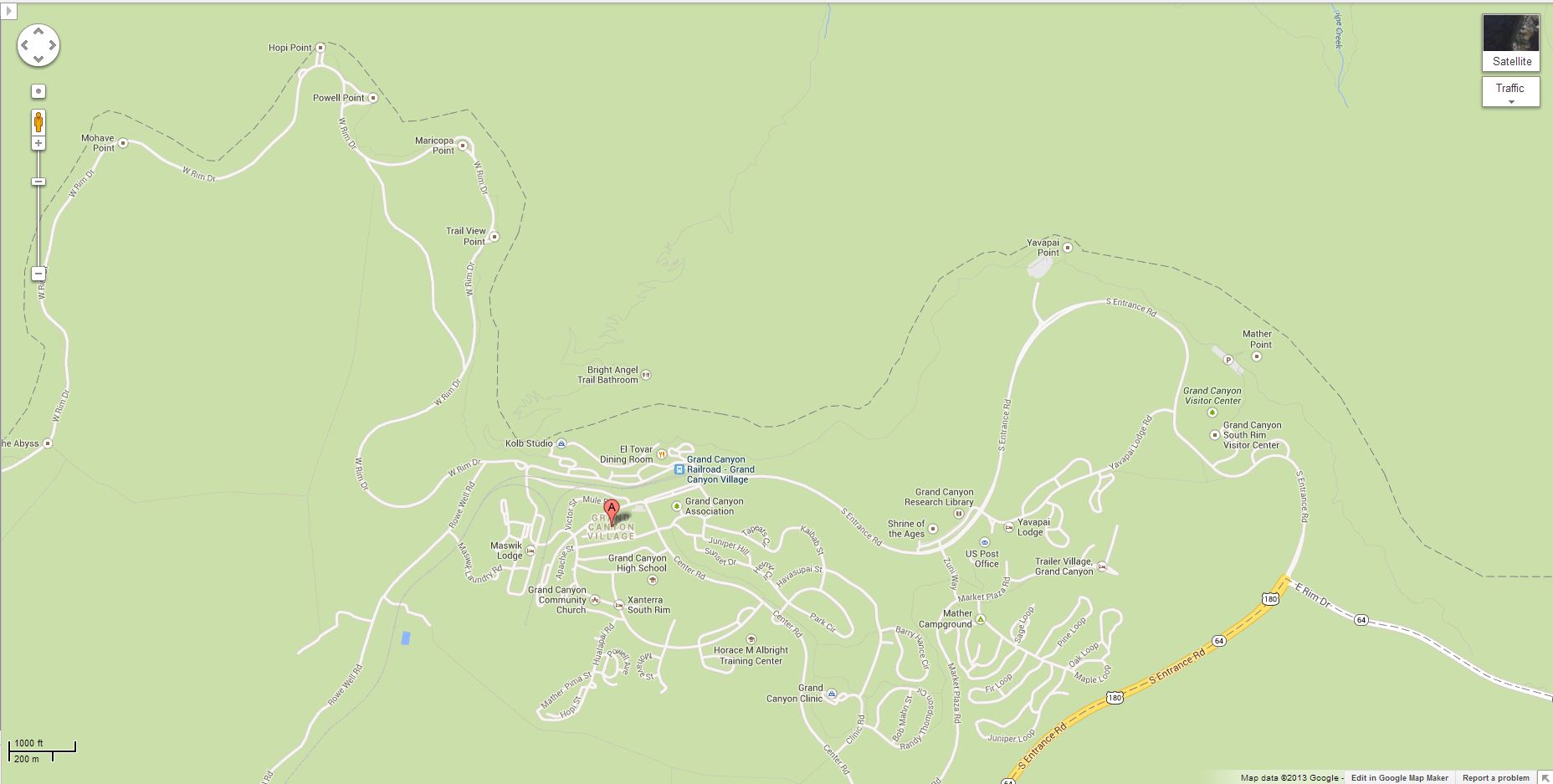 Google Maps
 The sinuous nature of the rim and the way the village is located at the center of a giant horseshoe-shaped curve are obvious here. On the tip of the plateau seen here (upper right) is where Maricopa Point is located, with Hopi Point off in the distance around the other side from there. About half way out on that escarpment you can see Trail View Point. (In Part Three we were there looking back here — this is the reverse of that.)
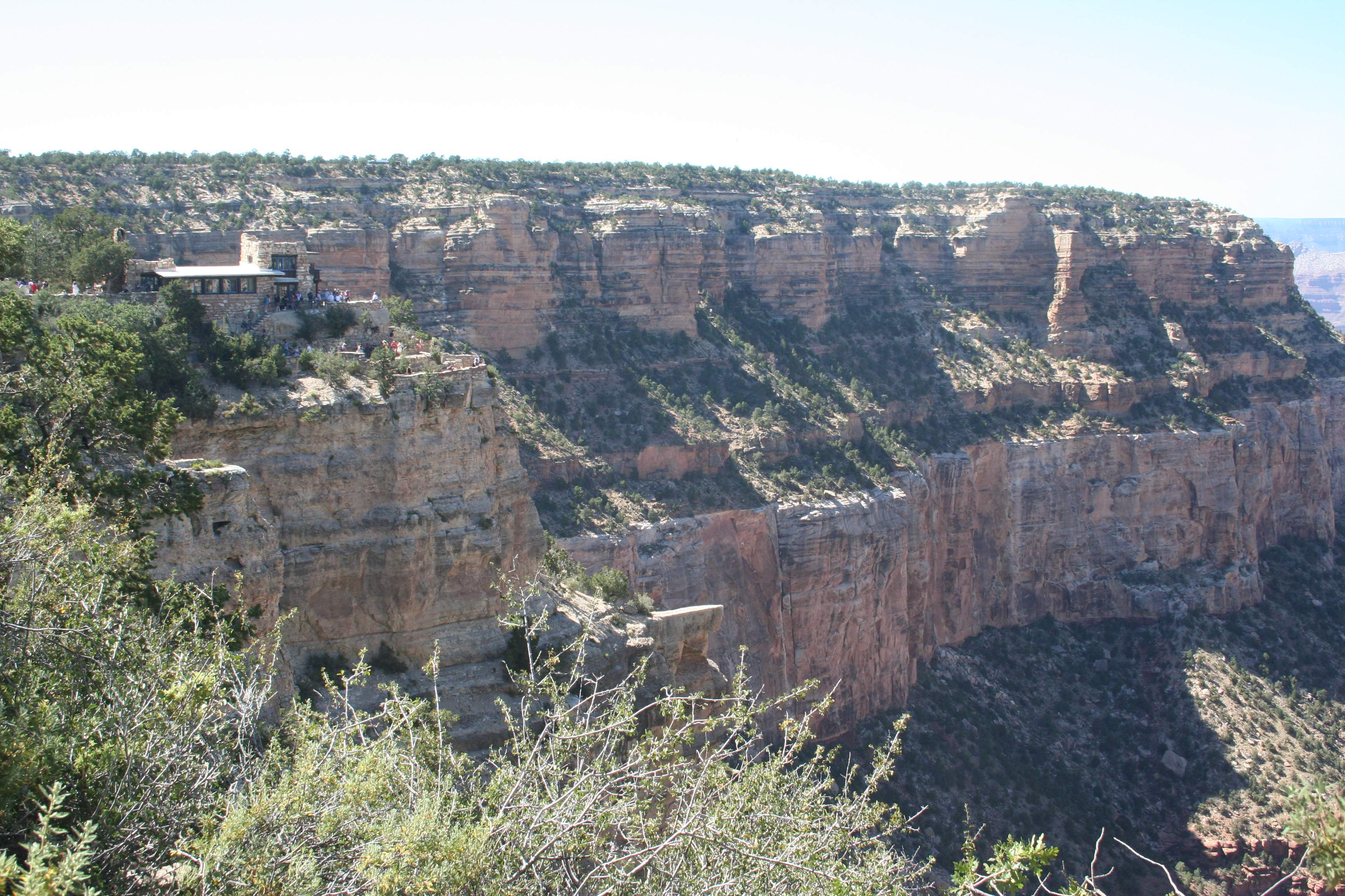
 Sticking out on a finger of rock is the Kolb Studio. Right on the far side of the studio is the trailhead for the Bright Angel Trail going down into the Canyon. It’s worth walking down to the studio to see the artwork there, as well as the views from the lower terraces you can see.

 Way out in the distance, at the bottom of the Canyon, you can see bits and pieces of the rapids and river bed. The water appears brown or greenish-grey due to the large amount of silt and sediment being carried. White spots on the river mark where the rapids are.

 Having walked up to the east a ways, you get a slightly different perspective. It’s amazing how different things can look just by moving a few hundred yards, as well as having a bit of time passing with the shadows shifting and colors changing with the light.
 The landscape view…
 …and the portrait view of the side canyon that the Bright Angel Trail runs through. The trail is the lighter, almost white line that tracks across the lower plateau for several miles before again plunging a couple thousand feet. At the bottom of the side canyon, just where the path starts to go into the trees, you can barely see a few outbuildings. These are about the only buildings currently down in the canyon, there to provide a minimal amount of help and a resting area to hikers.
 It doesn’t take long at the Canyon to figure that you could live there year-round for a long, long time and never get tired of seeing it.
