
Some time back, probably two months or more ago, I speculated idly about the names of the mountains due east of us. Looking over our backyard wall, past the water tanks and high-tension power lines:
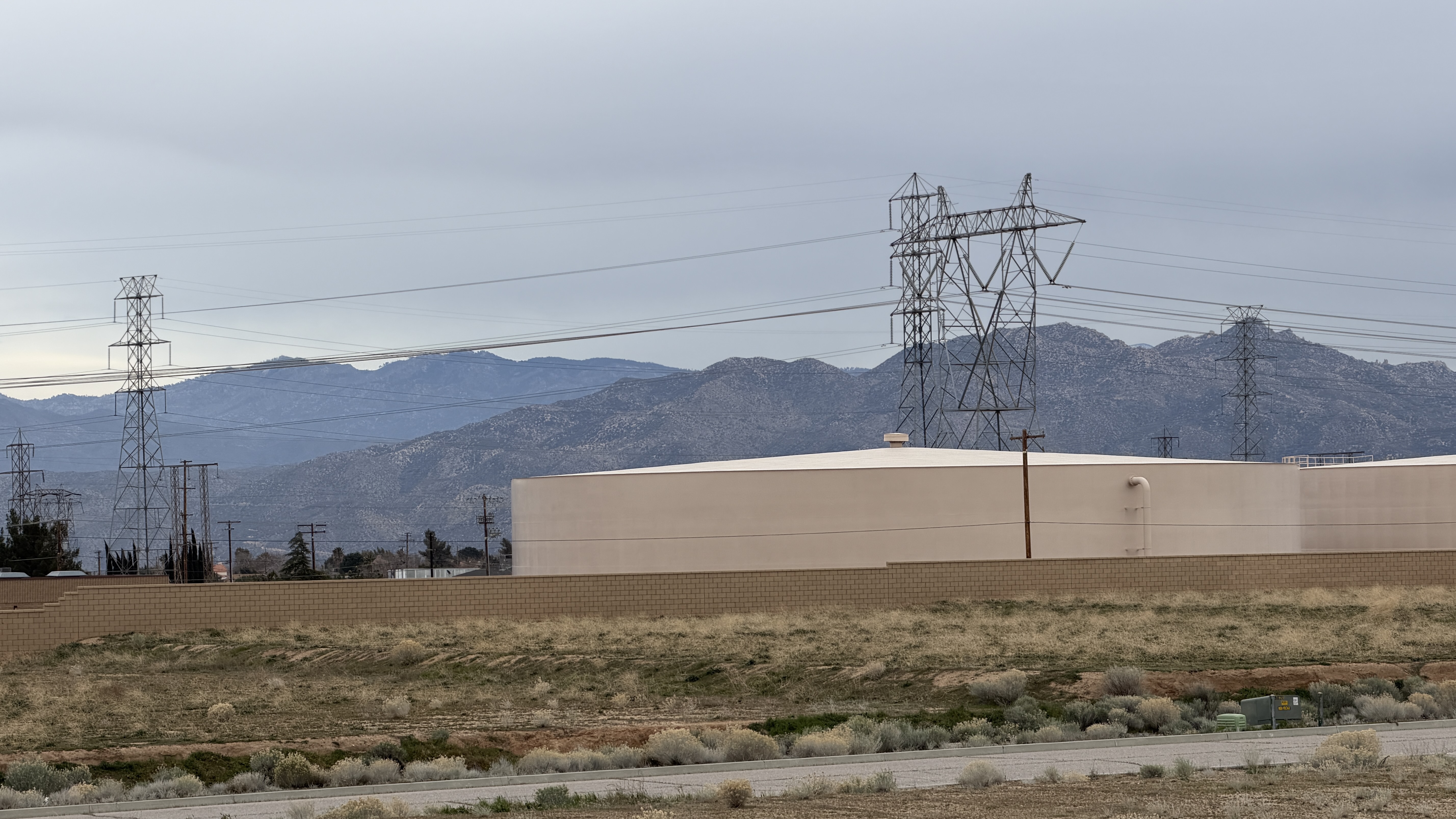
Most prominent, on the right, there’s a mountain with three peaks. Off in the distance to the left is a taller peak, which has occasionally had snow on the top this winter.
I hadn’t gotten far in searching the internet and various map sites to see where they might be clearly identified, but then I stumbled on the information in Google Earth while looking for something else.

The nearby triple peaked mountain is called The Pinnacles, and it has a number of hiking trails out of the Mojave River Forks Regional Park. Several of them going all the way to the top are rated “Moderate” or “Difficult,” so I may not be hiking any of them this weekend.
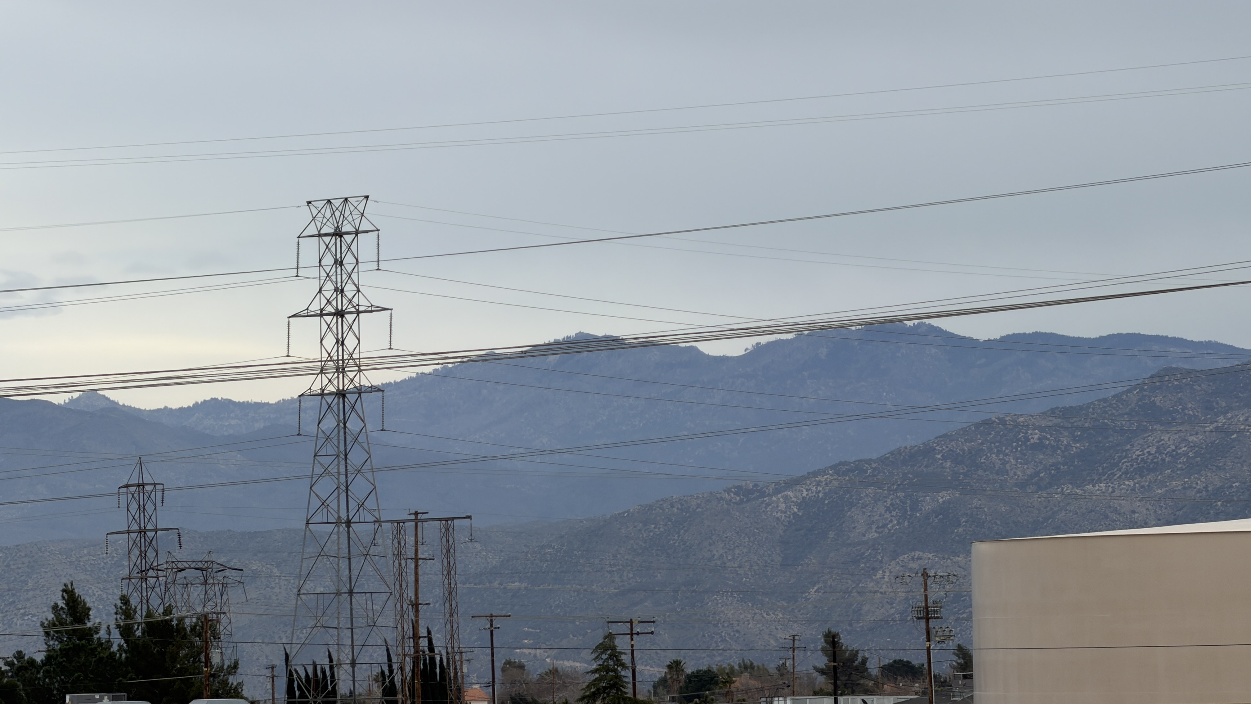
Behind The Pinnacles from our viewpoint, off to the northeast, is Butler Peak, which apparently goes up to 8,537 feet, thus explaining the snow. There are trails there as well, but again, not this weekend.
Hidden from our location, off due east behind The Pinnacles, are Keller Peak and then San Gorgonio Mountain, and off to the southeast outside of Palm Springs is Mt San Jacinto, with the Palm Springs Aerial Tram leading up to the top. We’ve done that.
It’s nice to have names. It helps me feel oriented.
