
Since I recently flew from Chicago to Los Angeles with a window seat, a clear day, my trusty Canon Rebel xTi, a full battery, and an empty memory card, I’ve been sharing the things that I saw. First there were the small and sometimes not-so-small airports and towns, then some obvious landmarks and way points.
Today, it’s proof that it wasn’t all “clear and a million” along the way. There were clouds.

Over southwestern Kansas, it’s real obvious where the frontal boundary is. Lots of clouds north and east of the line, very few south and west of it.

Way off in the distance (probably at least 30-40 miles away at this altitude) there was some convective activity, the humid, unstable air heating and rising, building up thunderstorms.

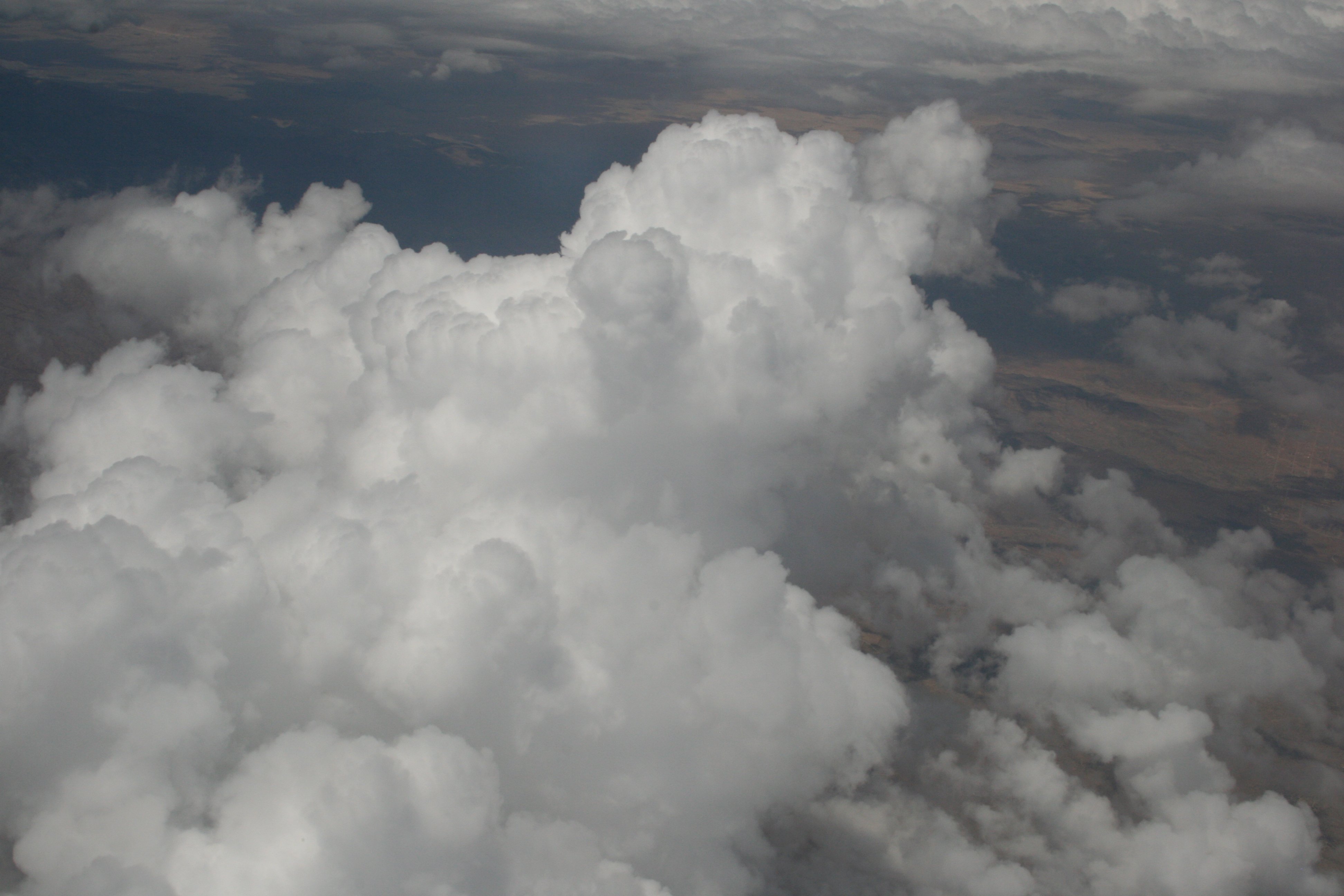
Over New Mexico we were seeing very thin layers of clouds near us, looking almost grey or black in contrast to the white cumulus clouds building in the background.

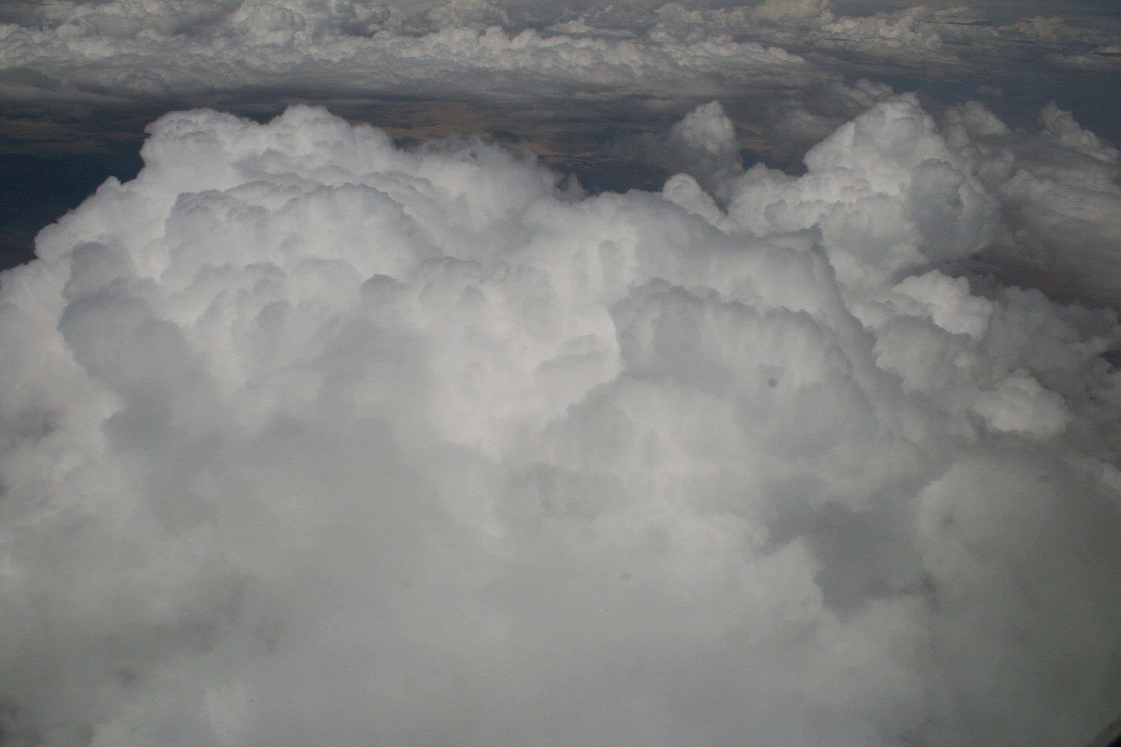
The cumulus clouds kept building, the thin layers above them got more broken. Despite all of the clouds and convective activity, I didn’t see any sign of any actual rain, so badly needed out here.
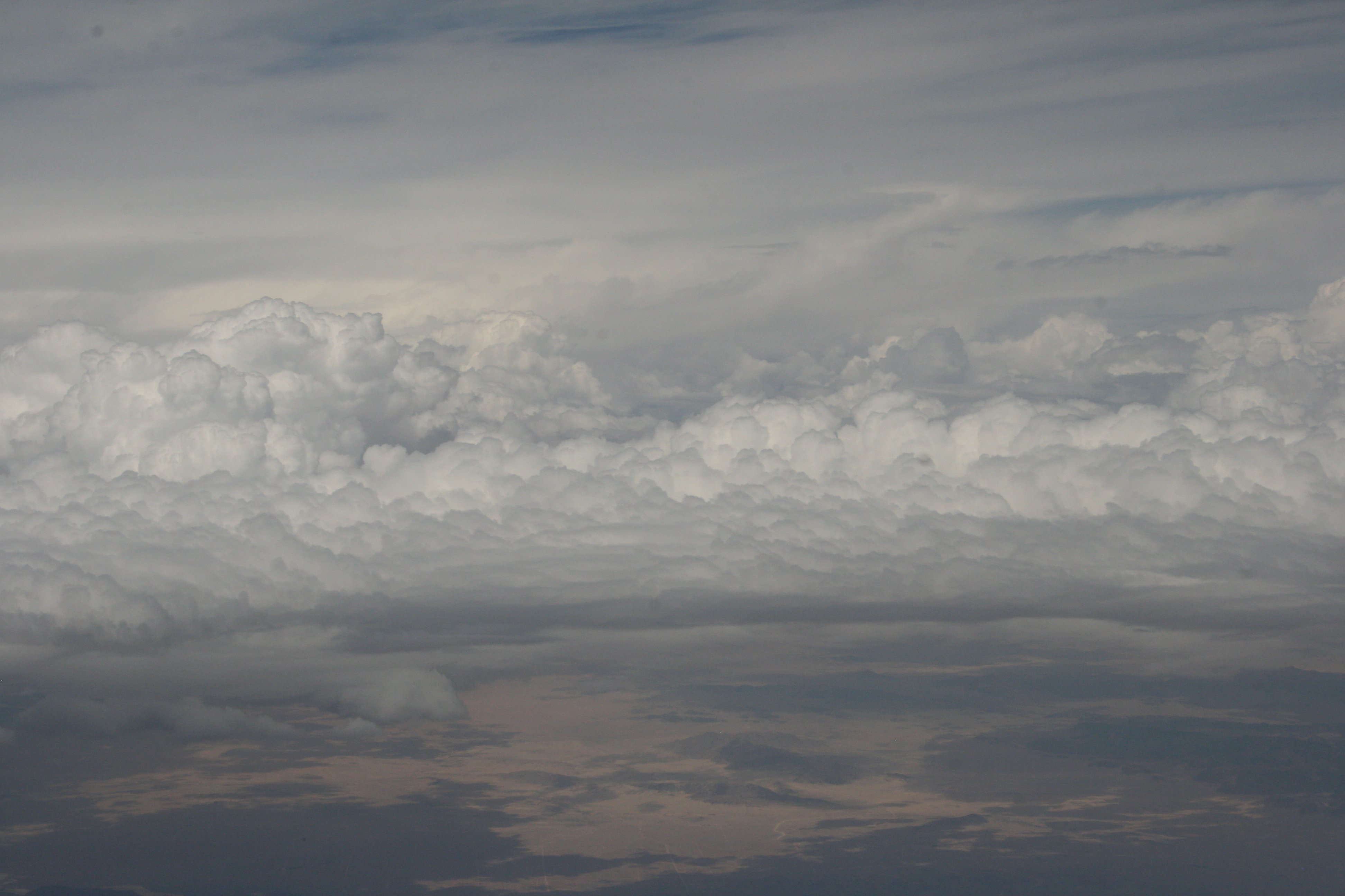
Crossing into California, there were some pretty good sized cumulus starting to build over the Mohave Desert. Normally dry as a bone this time of year, and at the tail end of a historically severe four-year drought to boot, this day brought some moisture up from the Gulf of California, another remnant from a tropical storm or hurricane off of Baja.
This has happened very, very rarely in the forty-plus years I’ve lived here. Normally the tropical storms start well south of Cabo san Lucas and head northwest toward Hawaii. This year we’ve already had three or four times where instead the storms steer almost due north up the coast. Normally this would kill the storms, since the waters there are cold and the storms get no energy from the water to feed on. This year the water is significantly warmer (building up to a record-breaking El Niño year?) and the storms survive long enough to batter Cabo and Baja and then get sucked up into the US Southwest.
When all those things happen it can lead to some incredible flash floods in the desert. Remember the picture from yesterday of Big Sandy Wash in Arizona? Notice how wide the wash is, despite the fact that there may rarely be a significant amount of water in there? Something makes it that wide, and that something is an extremely violent flash flood. Even if it only happens every few decades, the scars it leaves on the landscape can last for hundreds or thousands of years.
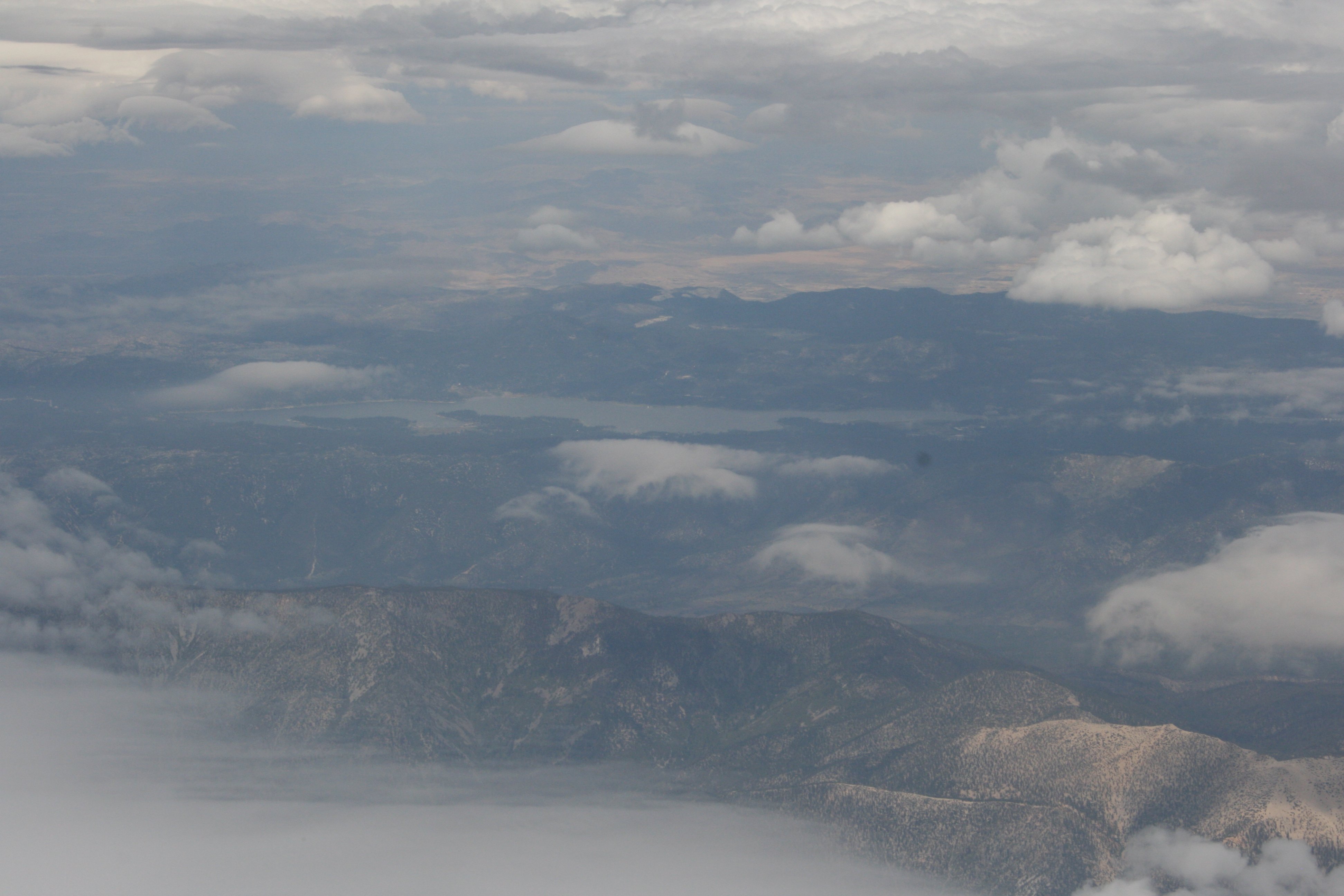
Approaching Los Angeles, the San Bernardino mountains to our north, Lake Arrowhead at 5,174 feet managed to peek through a hole in the clouds.

On final approach into LAX we could see rain falling, but probably not finding the ground. (It was dry everywhere we went that afternoon and there was no sign of any rain earlier in the day.) Rain that falls but evaporates before it hits the ground is called “virga.”
That’s “v-i-r-g-a,” not “v-i-a-g-r-a-®.”
Completely different phenomenon.
