
Last Thursday morning, returning home from Vermont, flying out of Burlington into Chicago. What do I see from the air? Not surprisingly, I see a lot of airports.

It was fairly early when we left Burlington, so the low sunlight made the contours in the broken cloud layer stand out.
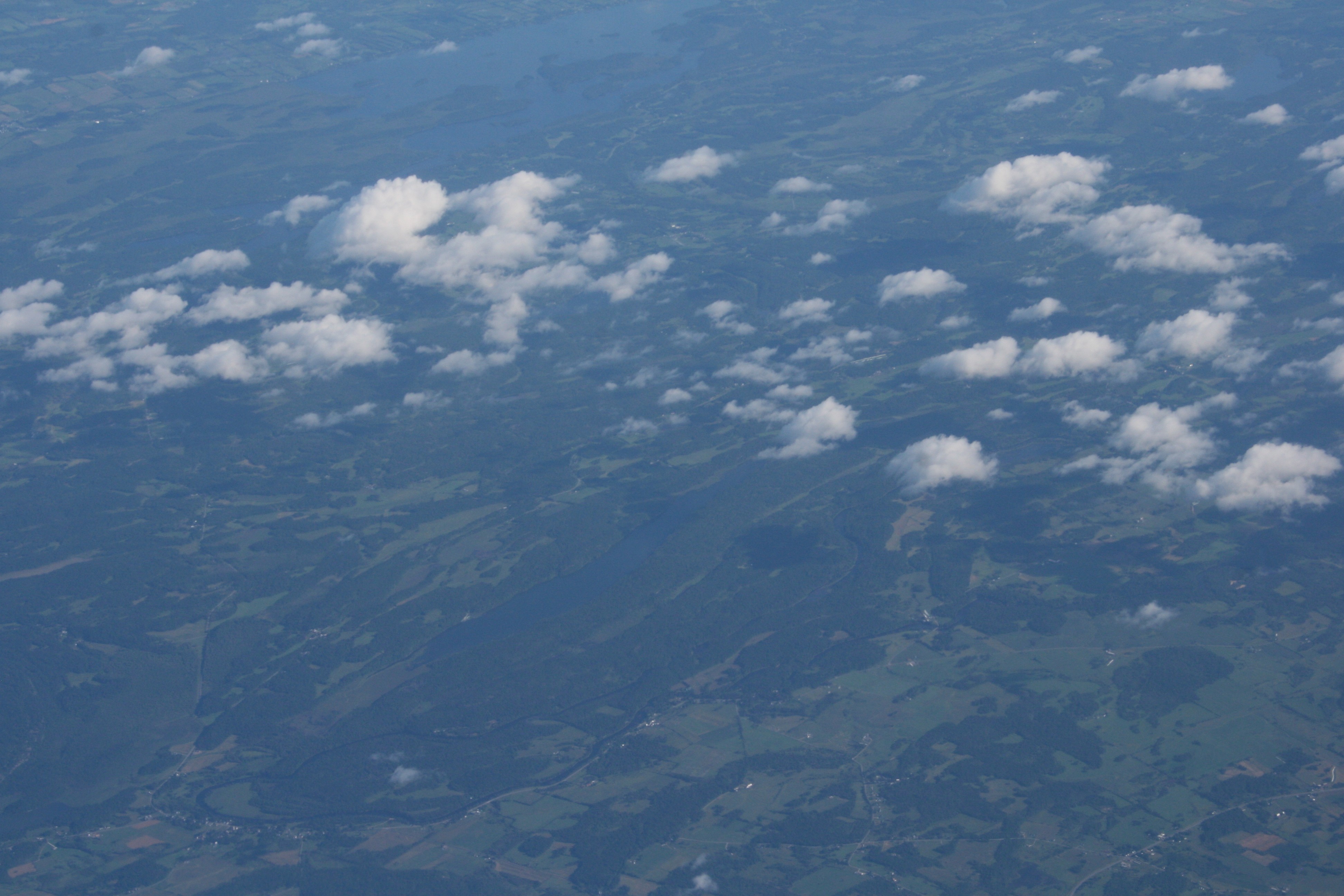
The Finger Lakes of New York, just north of Lake Placid.
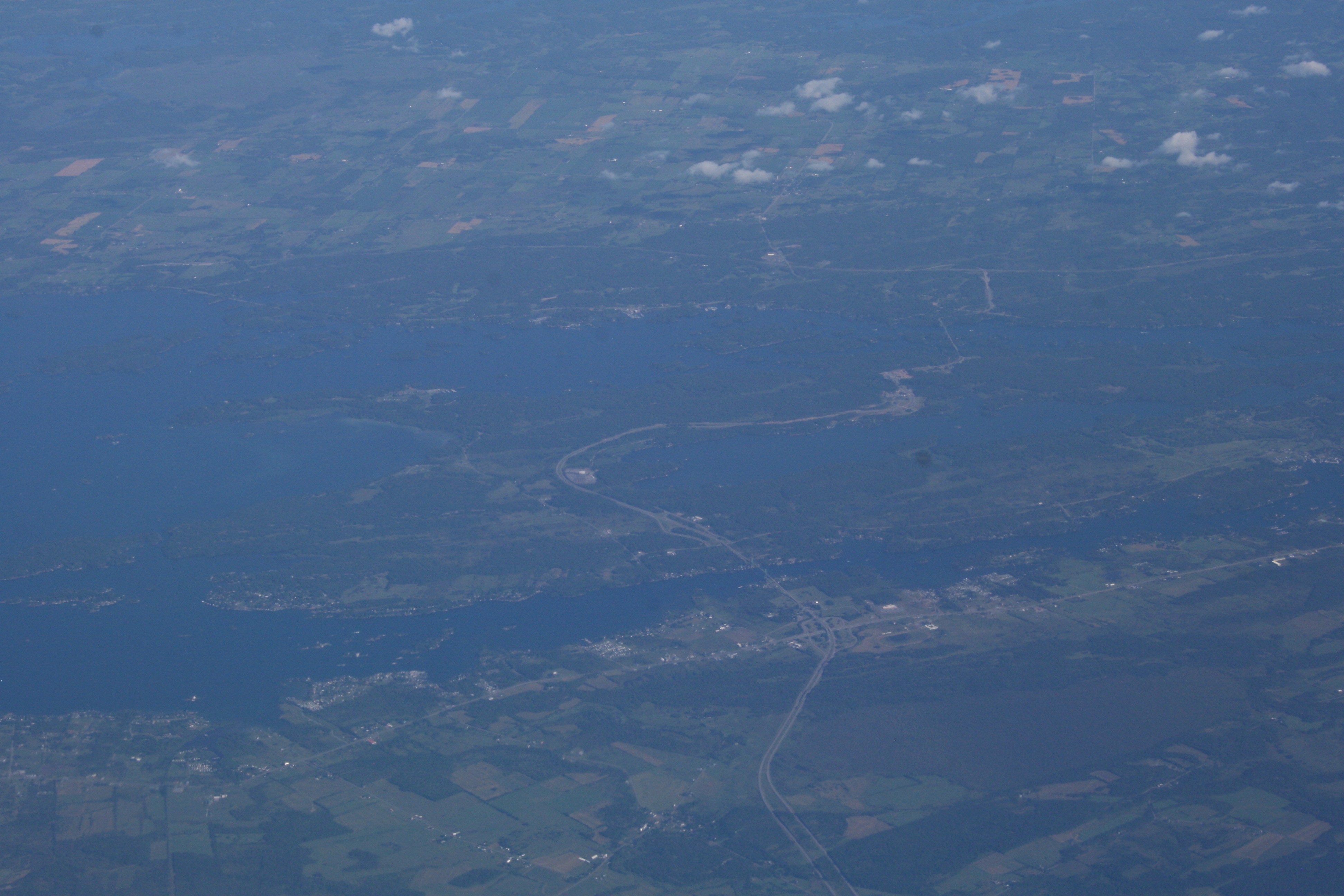
Approaching the St. Lawrence River, separating the United States from Canada. Just to the lower right of center is Fishers Landing, New York. The major roadway there is US I-81 turning into Canadian Highway 137 as it crosses Wellesley Island.
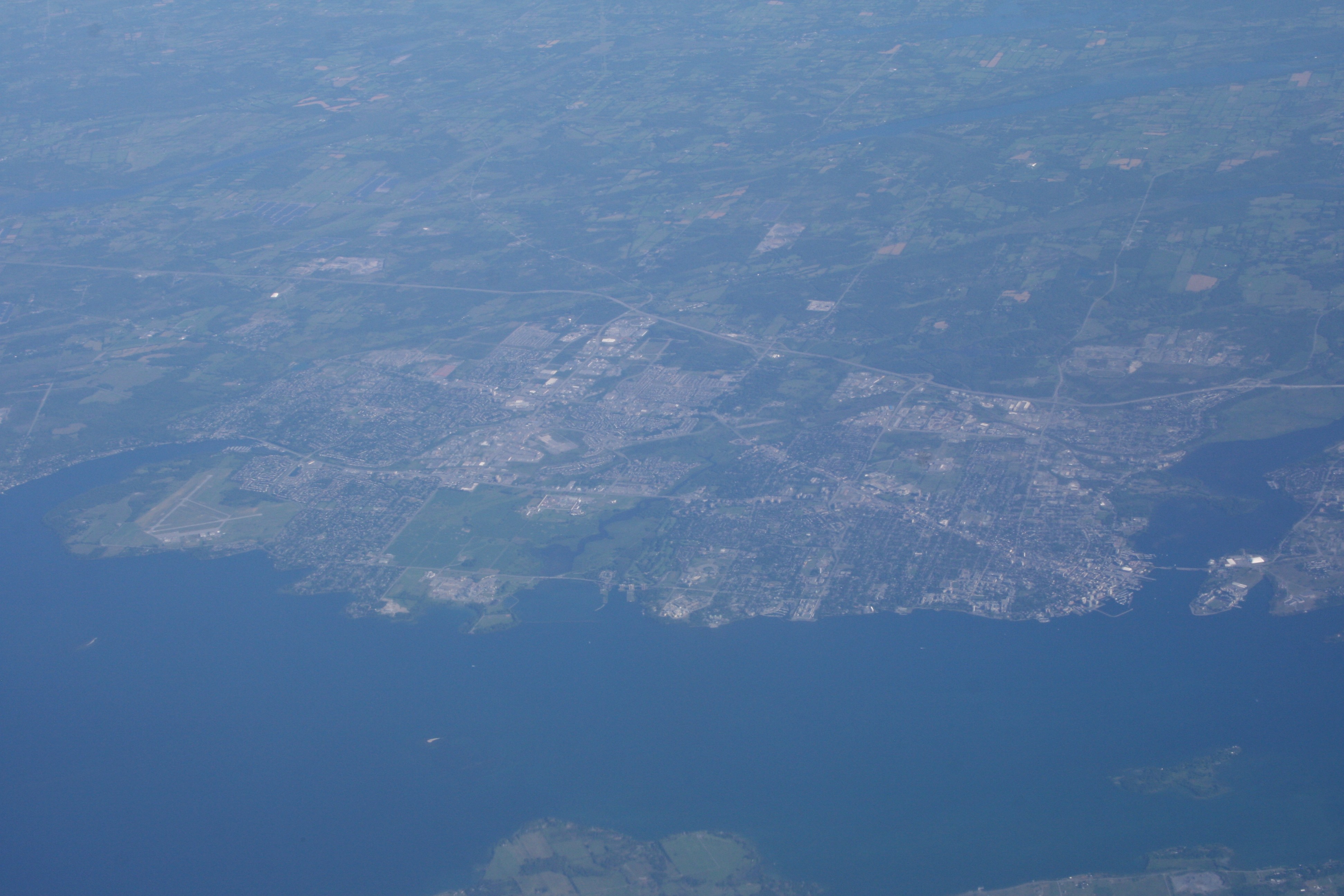
Kingston, Ontario. The harbor on the right and the Kingston Airport on the left make it easy to identify. At the bottom is Simcoe Island in New York.
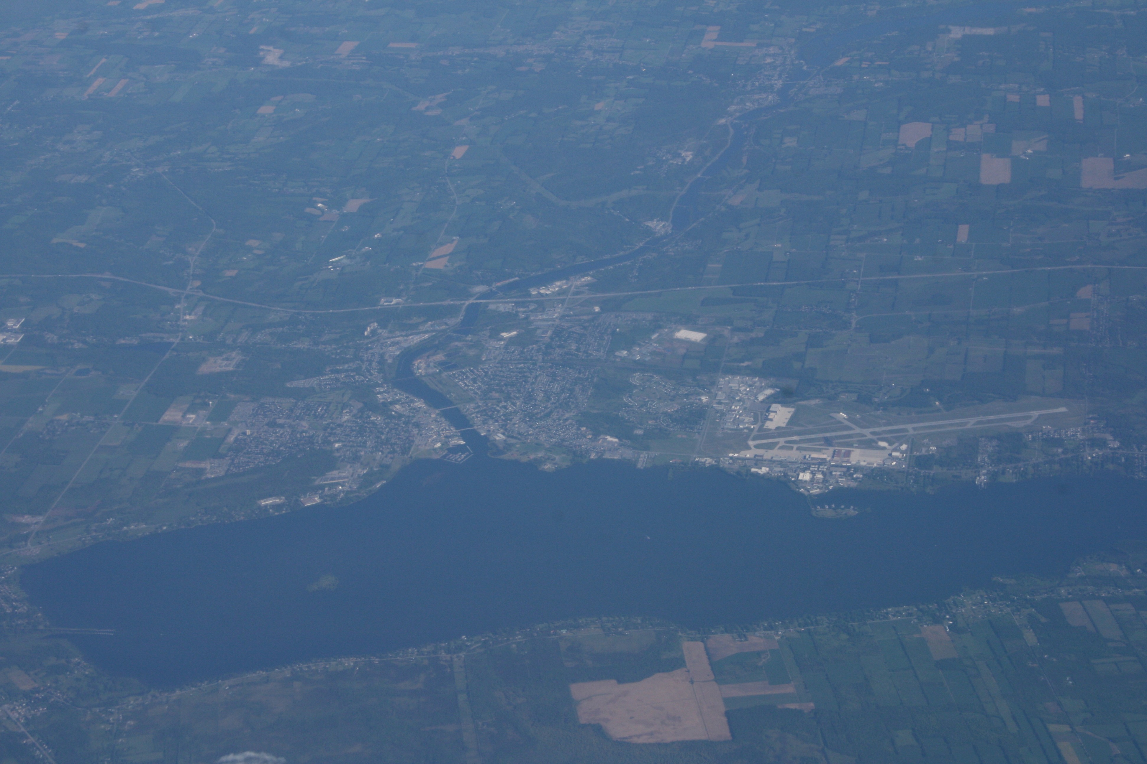
This is the Bay of Quinte, an offshoot of the St. Lawrence River. The community at the top is Trenton (along with Trenton Airport) and at the far left of the Bay you can see the entry/exit point of the Murray Canal, which connects the Bay of Quinte with Presqu’ile Bay on Lake Ontario.
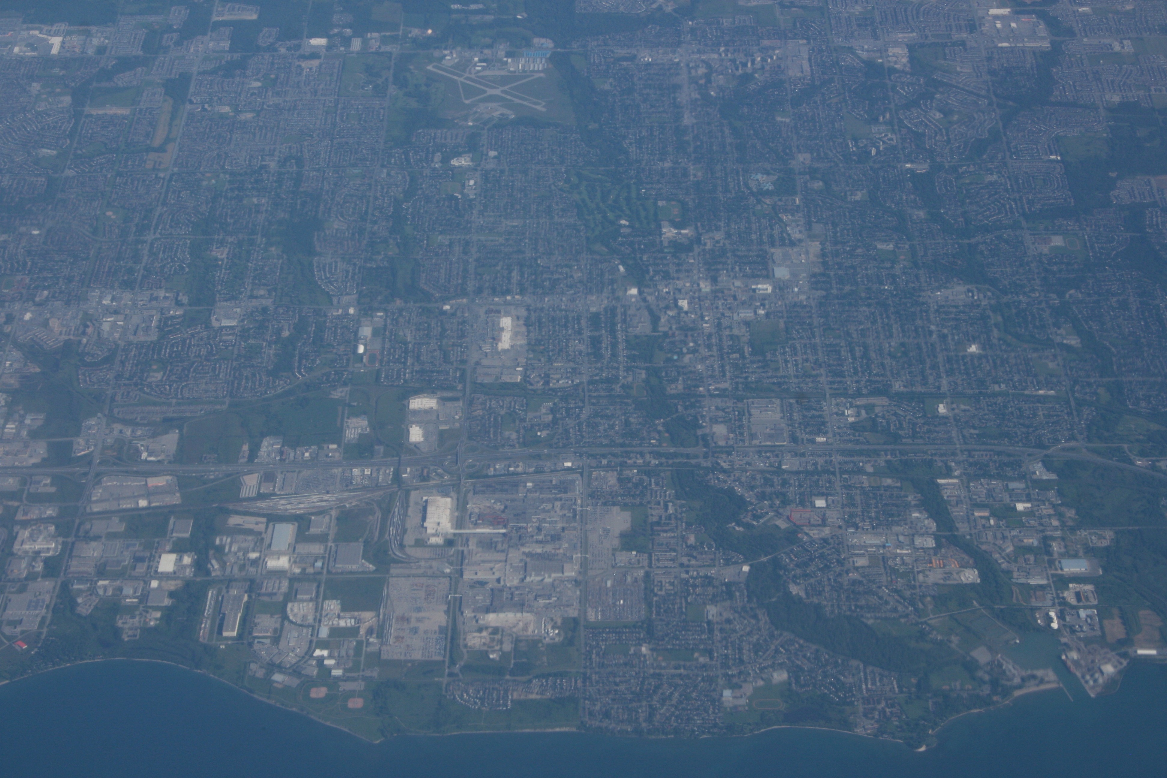
Whitby, Ontario on the left, Oshawa, Ontario on the right, with Oshawa Airport at the top center. As you can see, we were flying the length of Lake Ontario. I was sitting on the right side of the plane so I was looking at the southern border of Canada. The Long-Suffering Wife was on the left side of the plane and could have been looking at the northern border of New York (Rochester, Buffalo, Niagara Falls) if she hadn’t had the good sense to close her window and get some sleep.
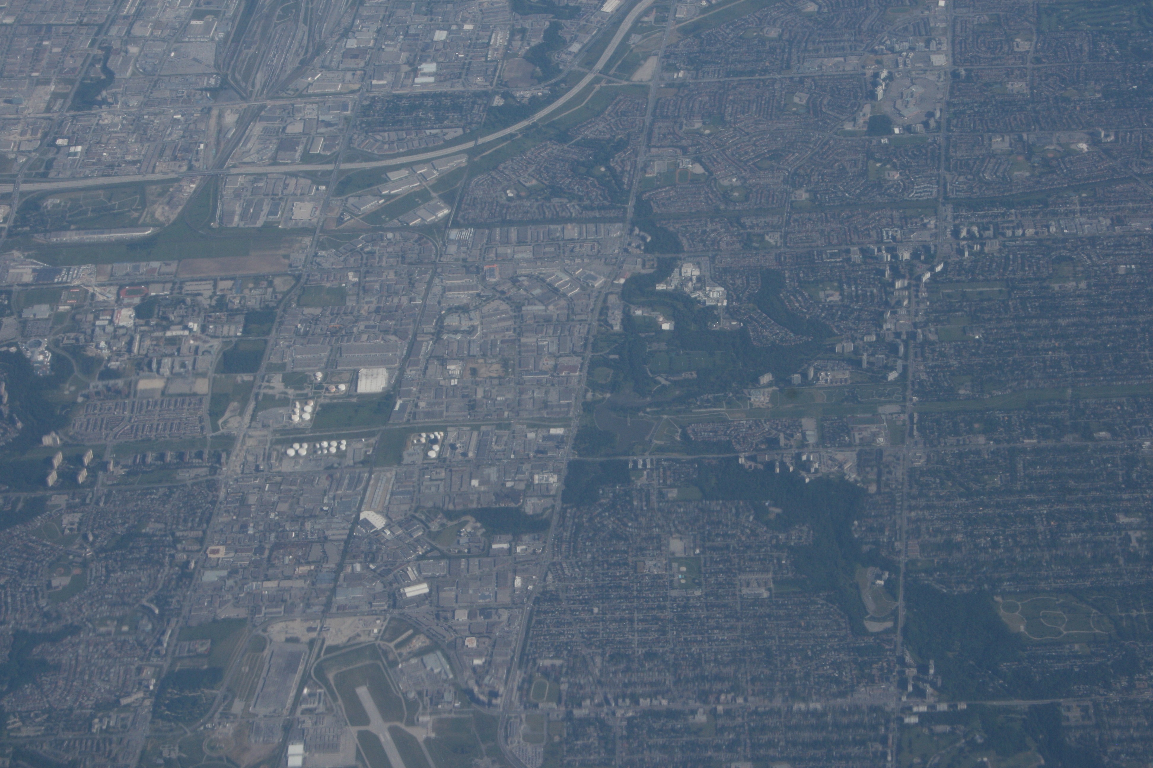
We flew right over the northern part of the Toronto area. The south end of the rail yards at Vaughan can be seen at the top left, while the north end of the runway at Toronto Downsview Airport can be seen at the bottom center.
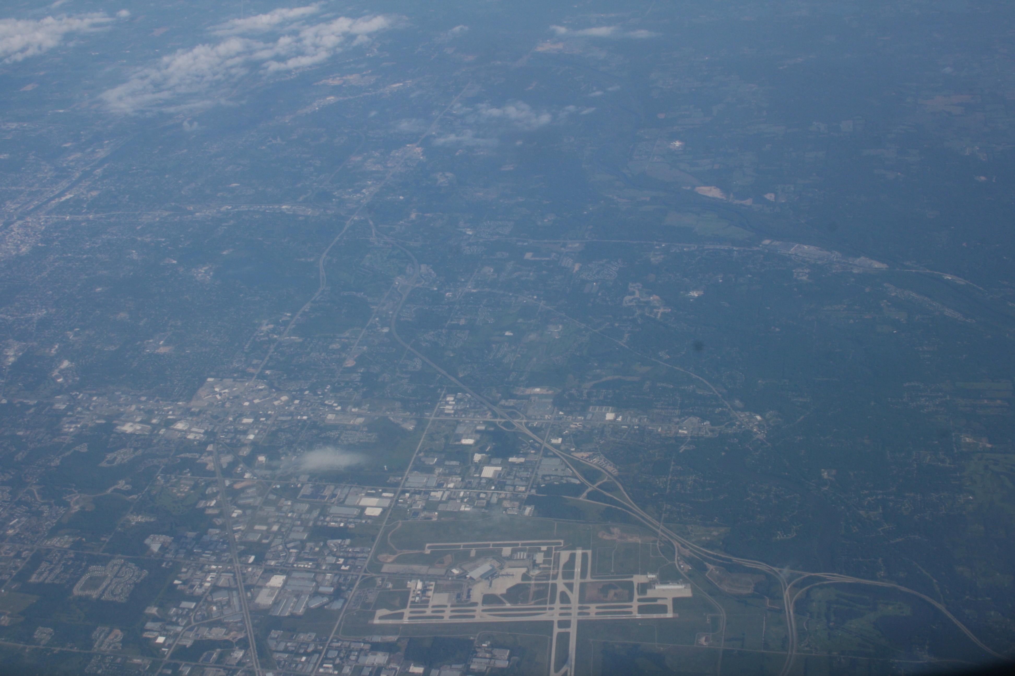
After crossing the southern tip of Lake Huron, we’re back over the United States. Heading west across Michigan, we passed just south of the Grand Rapids area, where the Kent County International Airport makes a great landmark.
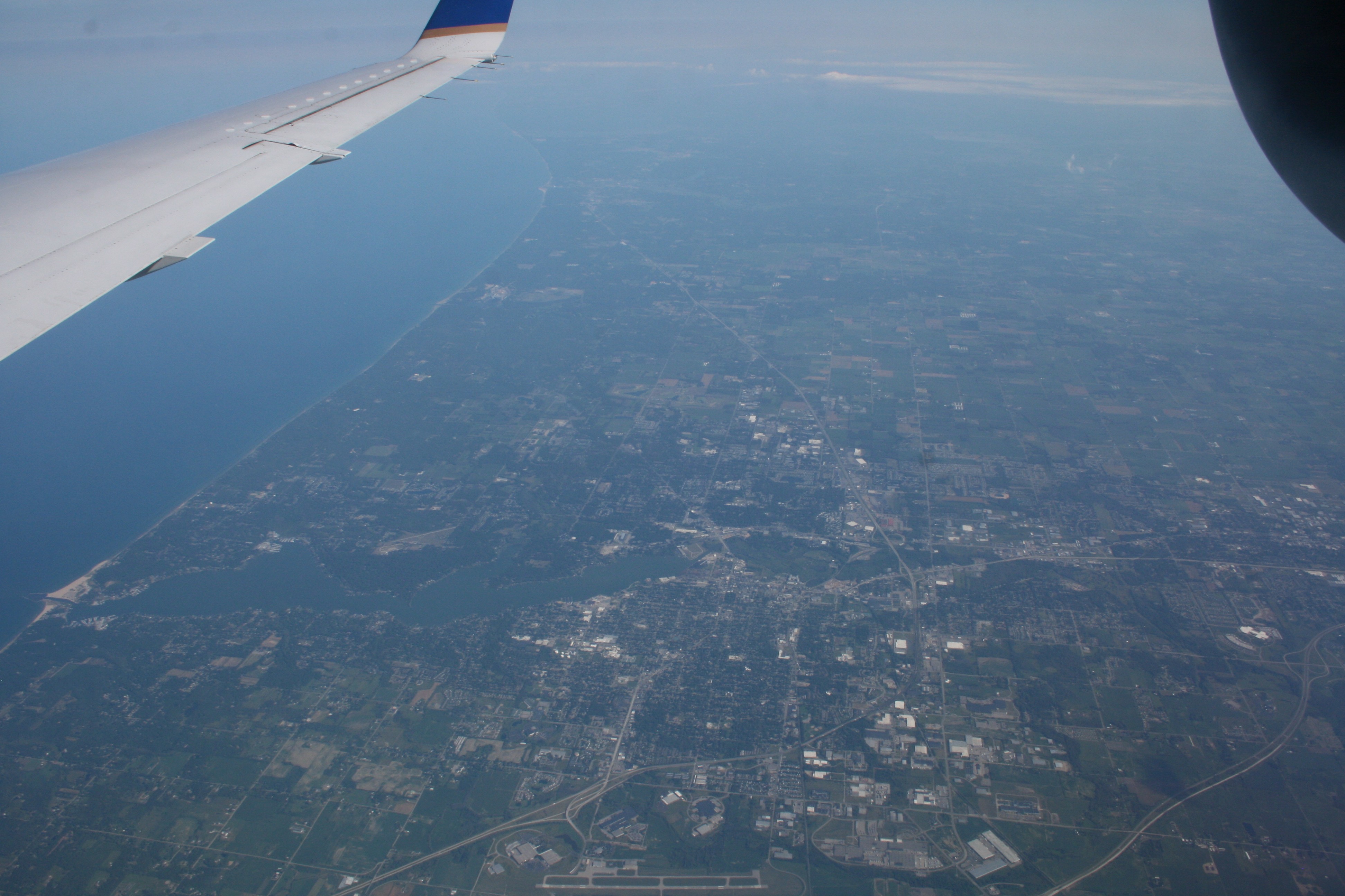
Approaching the eastern shore of Lake Michigan, we passed over Holland, Michigan. At the very bottom center you can see the Tulip City Airport, while there’s a much smaller airport (Park Township) on the northern shore of Lake Macatawa.
Lake Michigan is freakishly huge when you fly across it. I can see why it’s often recommended that small, single-engine planes take the long route around the southern tip rather than risk having an emergency over Lake Michigan.
