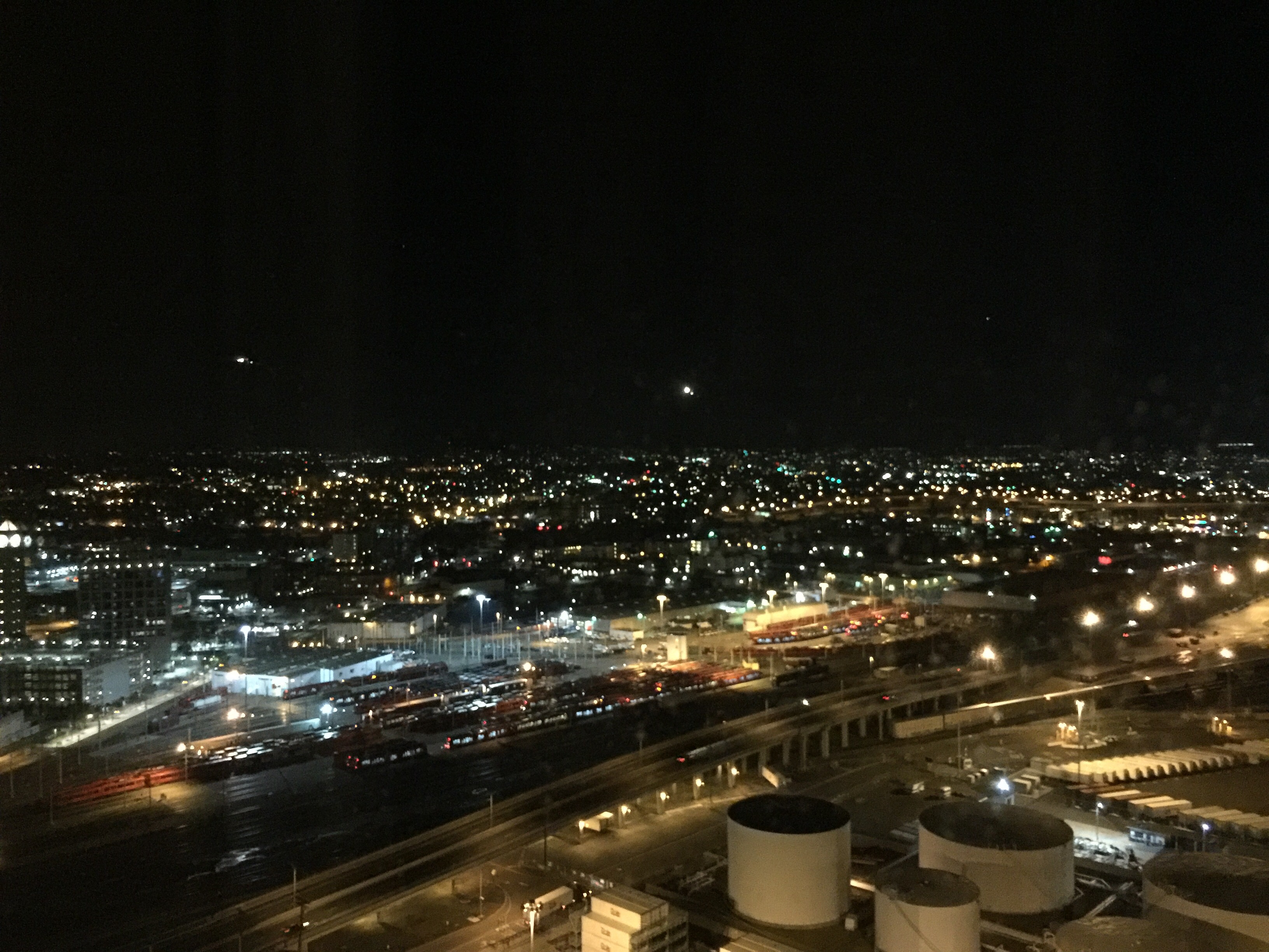
Many, many, many years ago (probably more than twenty, less than thirty) I saw something here in Los Angeles that has always haunted me just a bit.
I was down in Inglewood, a suburb in the LA Basin near LAX International. It’s also where the “Fabulous Forum” is (the Lakers and Kings used to play there before moving to Staples Center, I’ve seen many concerts there, including Led Zeppelin in the mid-1970’s), where Hollywood Park race track used to be, and where the mega-billion dollar new football stadium is being built for the Rams (and possibly the Chargers).
It’s also not necessarily the best part of town to be wandering around in if you’re lost. I would feel okay there during the day, but I might be a bit nervous if I were lost there at night. There are most certainly worse parts of the LA metropolitan area, and there are some nice neighborhoods in Inglewood, but there are more that are just a tad on the shady side.
I was down there because we had two apartment buildings in the city. It was probably at the beginning of the month and I was picking up the rent checks – I don’t remember exactly. But I remember coming south on the 405 Freeway and getting off at Century Boulevard. That exit actually dumps you on to La Cienega for a half block before you turn left onto Century and cut back under the freeway and into Inglewood.
As I was turning onto Century, I saw a couple walking along the sidewalk. They appeared to be tourists, maybe in their early 20’s, possibly Japanese or Chinese (I just got a glimpse of them). They were each dragging a suitcase behind them and they were not dressed for the weather.
By the time I was a block or two away, it hit me. They were headed away from LAX, walking, with luggage. They were from a completely different culture and country. They were young, possibly watching their pennies. Instead of getting a cab or renting a car or having someone pick them up, they had assumed that they could just walk to their hotel from LAX.
Mind you, I have no evidence other than what I saw for three or four seconds as I drove by. But I’ve never been able to forget them and as time has passed, I’ve become even more convinced that I’m right.
My guess is that they had no idea how freakin’ HUGE the Los Angeles area is and how almost nothing is within easy walking distance. My guess is they came from a city where there was a ton of public transportation (at the time, LA had very, very little) and if you didn’t have a convenient bus or subway going to where you were going, you simply walked.
Where had they made hotel reservations? Downtown LA? Fifteen miles if you know where you’re going and the direct route passes through a whole bunch of neighborhoods that are far more dangerous than Inglewood. Disneyland? Forty miles.
If you think they were going into a bad area for me to be lost in, think about someone on foot, with luggage, sticking out like a sore thumb, and possibly not speaking English real well, if at all.
I kept an eye on the news for the next couple of days. News of a tourist couple getting mugged or beaten up (or worse) would probably have made the news. I never saw a thing. I asked our apartment managers there if they had heard anything – no word.
So maybe I’m completely full of it, totally wrong, taking off on a 20+ year fantasy based on a glance as I turned the corner.
Maybe I’m right but they actually knew what they were doing. Maybe they were clueless but got helped out by the local cops or some good Samaritan who was quicker to figure out the problem than I was.
Hell, maybe they walked the forty miles to Disneyland, had a great two weeks, and walked back to LAX.
Why am I telling this story tonight?
Because for absolutely no reason at all, out of a clear blue sky, a few minutes ago something clicked in my head. I have no clue what might have triggered it, but I saw those two again in my memory, and simultaneously I saw myself walking around Kyoto.
I had been trying to get to Fushimi Inari on my first morning in the city. My hotel was across from the train station and I “knew” I could get there by train. What I didn’t know was that there were multiple independent train systems in the city. I, of course, got on the wrong subway.
Not reading Japanese, I was trying to judge where I should get off, hoping for some sort of symbol or English sign for tourists. I didn’t get one. When I got to a station that was probably at least one stop down the line from where I had guessed that I should be getting off, I got off and went up to street level.
With absolutely, 100% no freaking idea where I was.
But I had my iPhone, the map app, and I enjoy walking, so I had a grand old time for about an hour wandering aimlessly until I found a landmark I could identify and get oriented. Then I walked another two or three miles to Fushimi Inari, taking copious numbers of pictures along the way of course.
Tonight, for reasons known only to the quantum chromodynamic structure of the universe and my misfiring synapses, in my head I simultaneously saw that couple heading into Inglewood and saw myself wandering around Kyoto.
Did Kyoto have any neighborhoods that a wiser and more knowledgeable 50+ American guy might have avoided and was I ever in them? How would I have known? And if I was, was there some Japanese driver turning a corner, seeing a short, pudgy, middle aged white guy walking along blissfully ignorant with a backpack full of cameras and more of a sense of adventure than common sense. Does that image haunt some unknown Japanese guy just like the image of the couple pulling suitcases down the sidewalk away from LAX and into Inglewood haunts me?
Don’t worry, random, unknown Japanese guy. I was just fine, had a great time, loved Fushimi Inari and everything about your city. I might not have know exactly where I was going, but I was making good time.

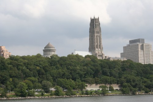 A few minutes south of the George Washington Bridge, among all of the high-rise apartment buildings, these two distinctive towers rose above the trees.
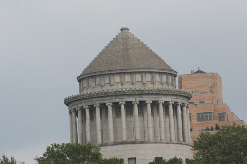 Officially this is the General Grant National Memorial. Unofficially it’s the punchline of one of the oldest and silliest jokes in the book.
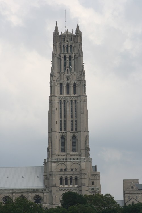 Next to it, looking very ornate and European-cathedral-like, is the Riverside Cathedral. Just a block away from Grant’s Tomb and the Riverside Cathedral is the campus of Columbia University.
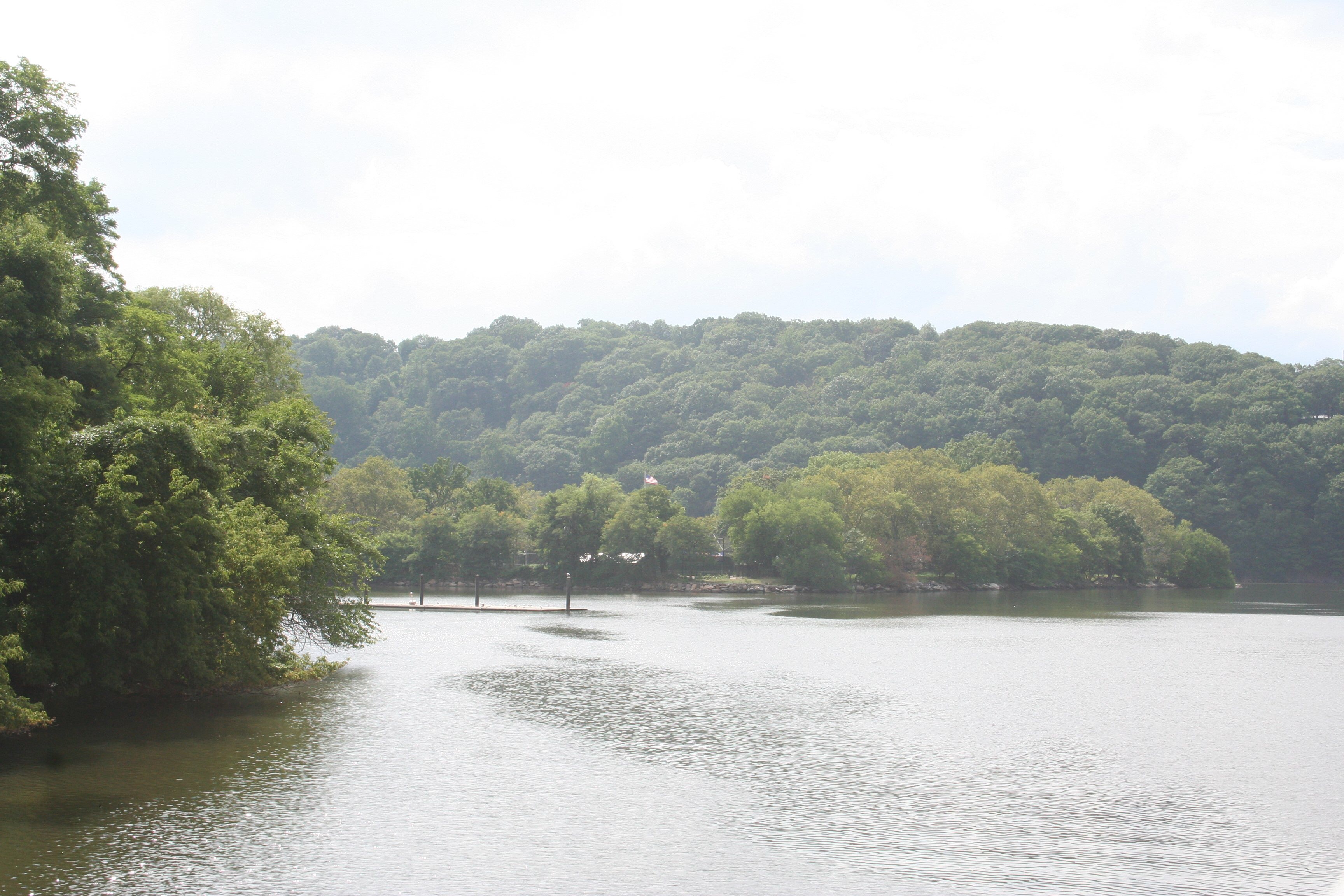
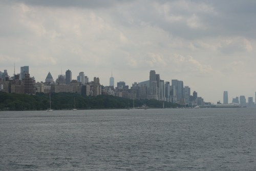 From this point you can see down the river all the way to the skyscrapers at the southern tip of Manhattan.
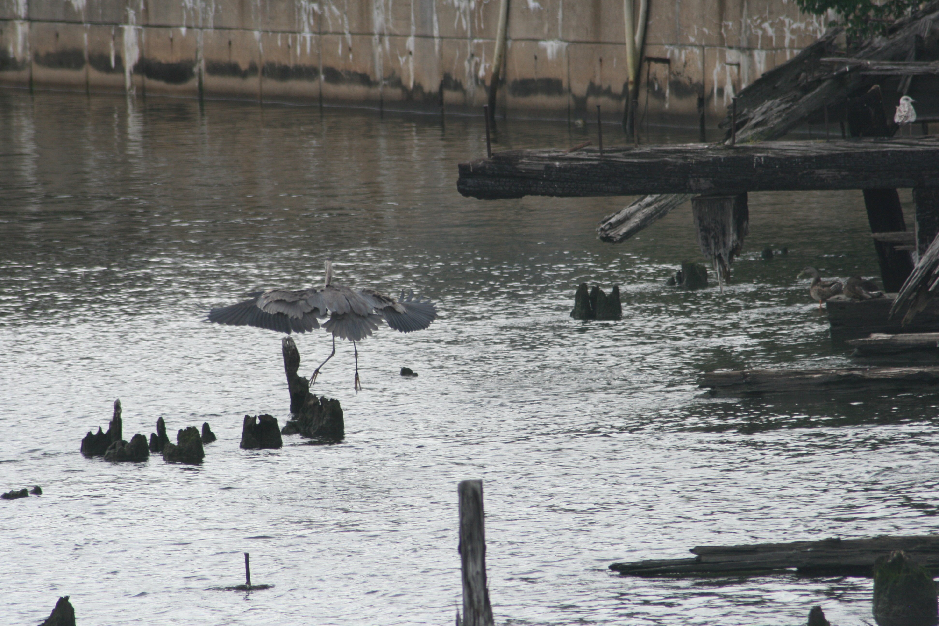
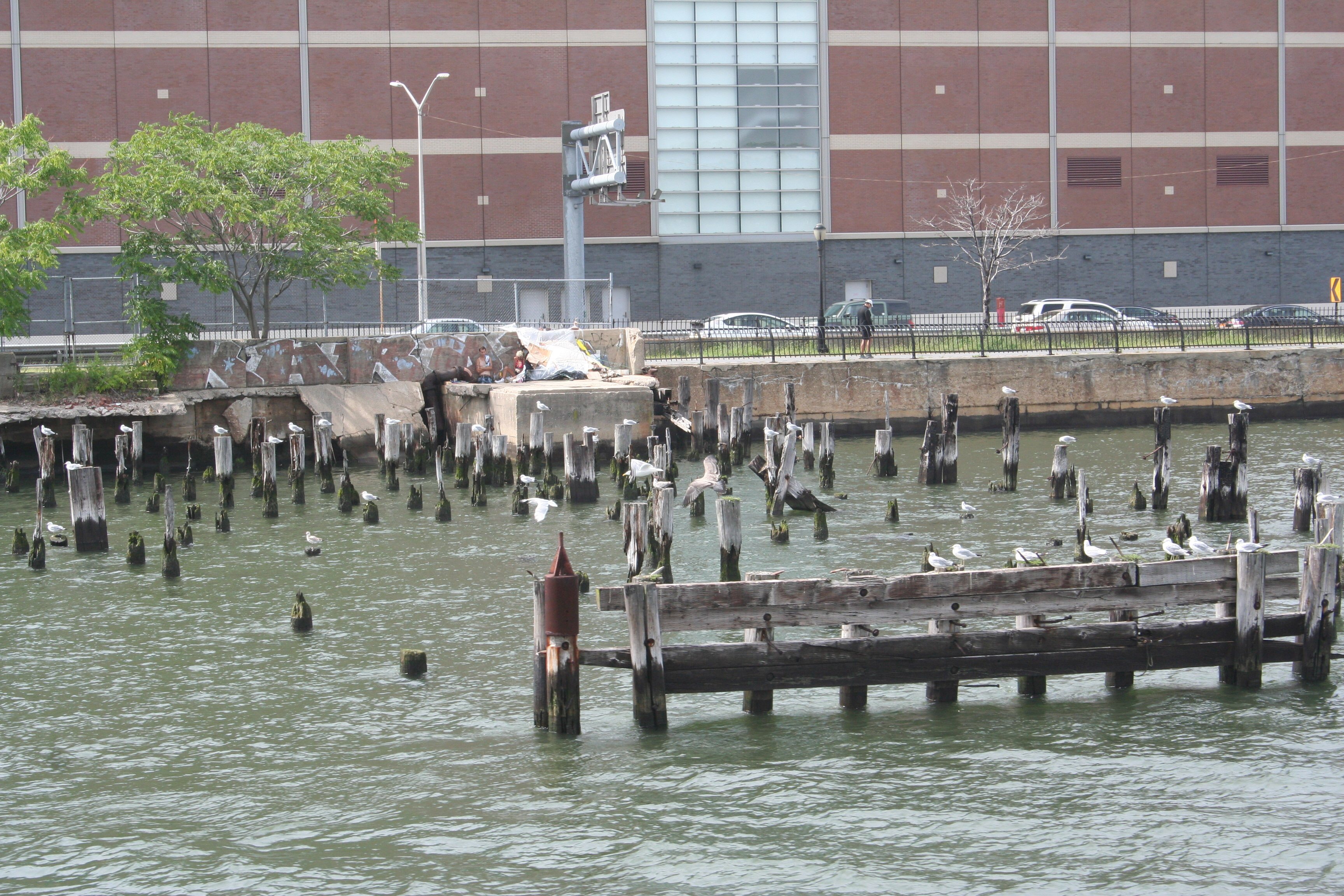
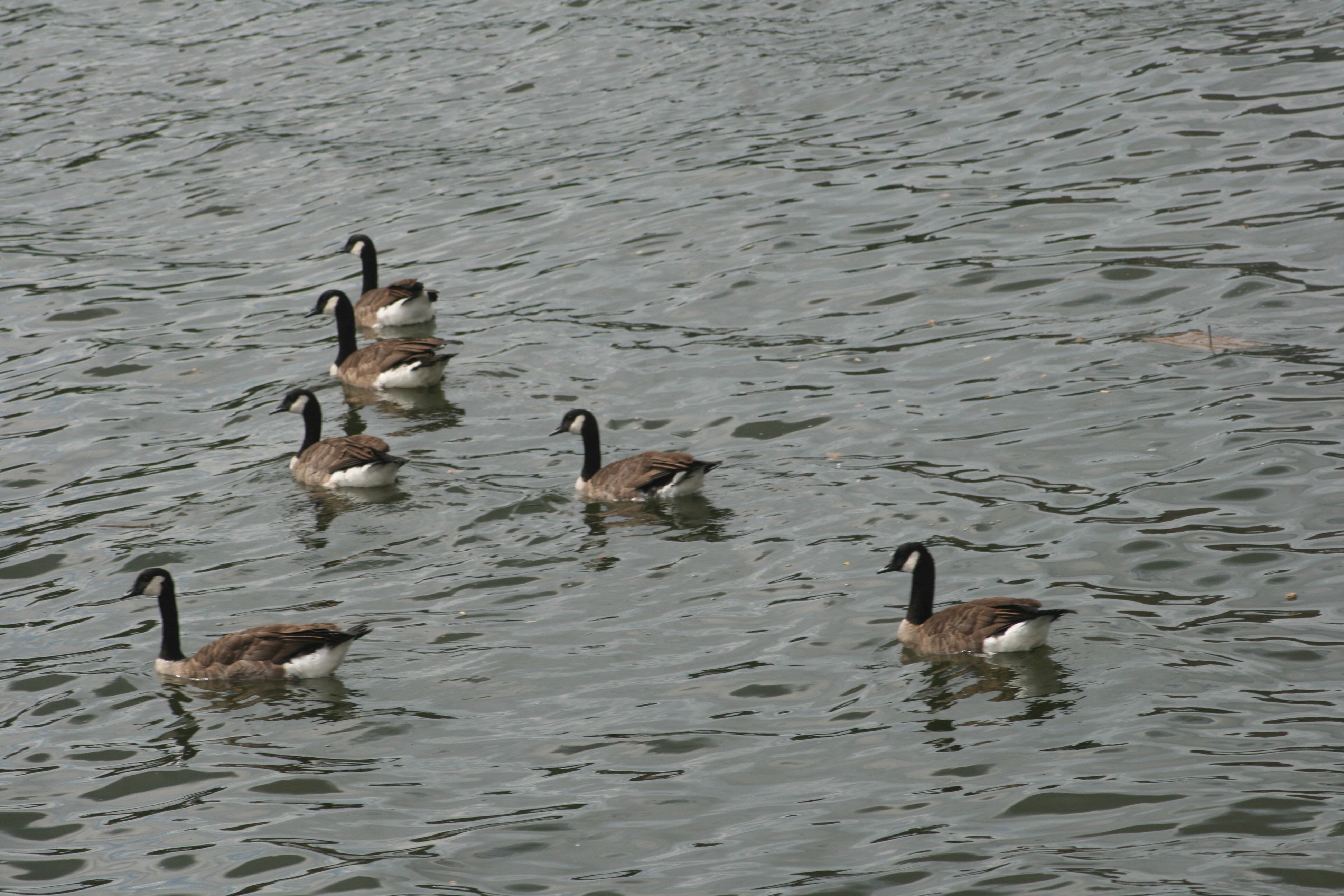
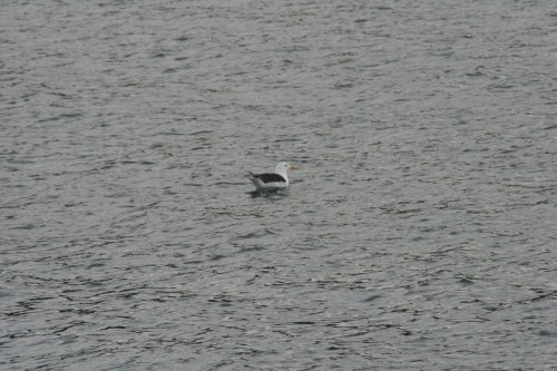 There wasn’t nearly as much wildlife on the Hudson side of the island as there had been on the East River side. Just this one seagull bobbing high in the water.
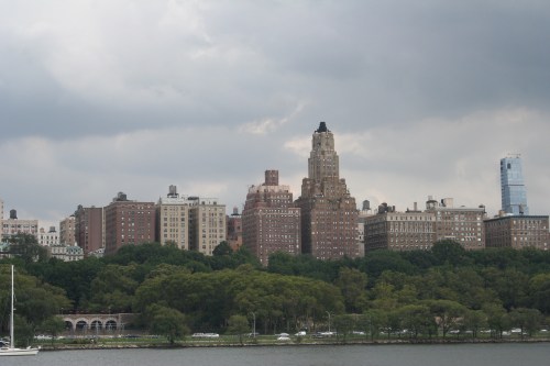 The tall, brown building here looks like the place designed by Evo Shandor (a well-known Gozer worshiper in his day) where Dana’s apartment was located. Good to see it survived the explosion of the Stay-Puft Marshamallow Man.
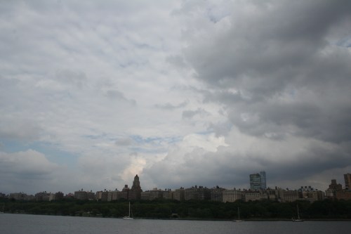 Although looking back at it, the clouds were gathering and making me wonder if Zool was going to make a reappearance…
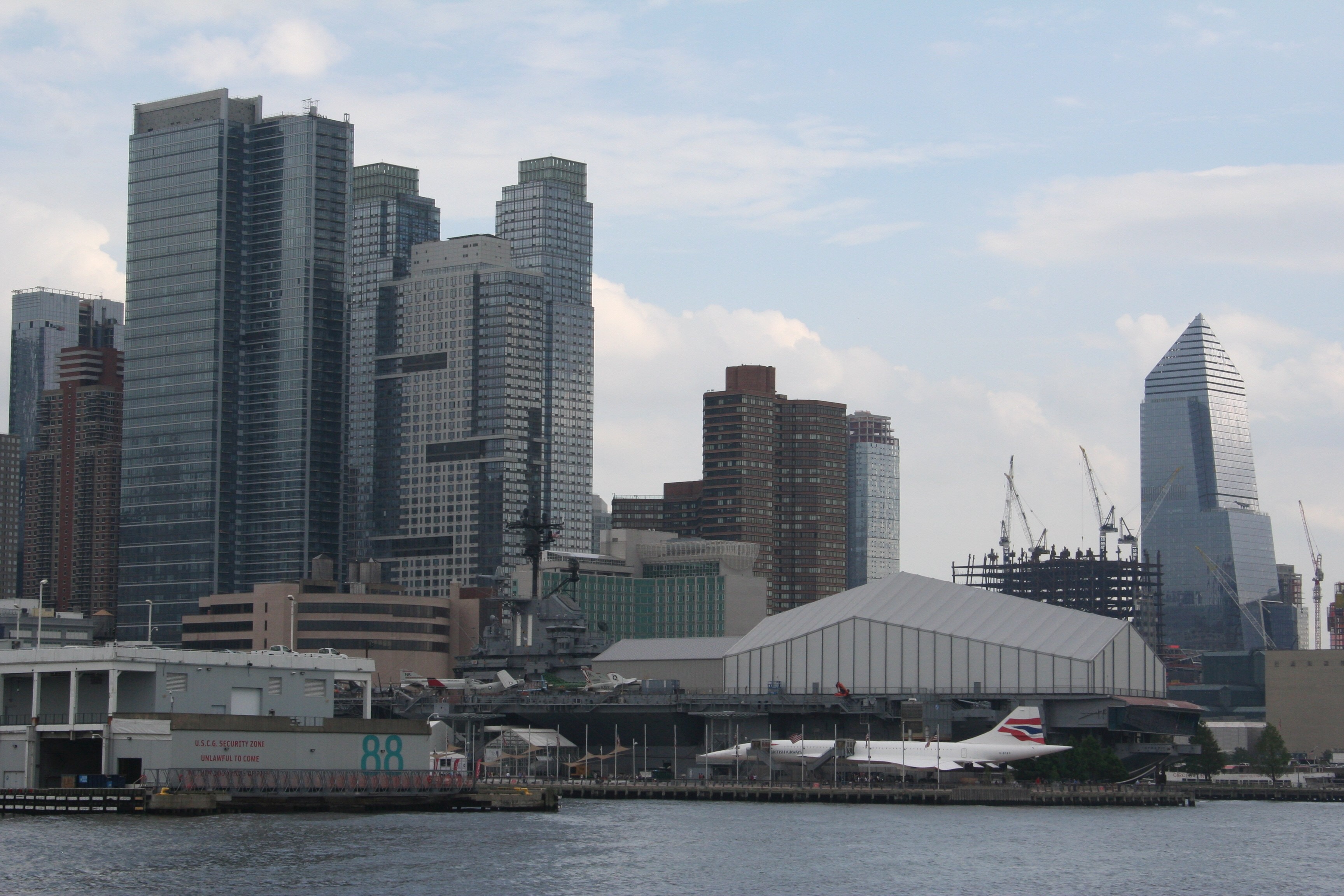
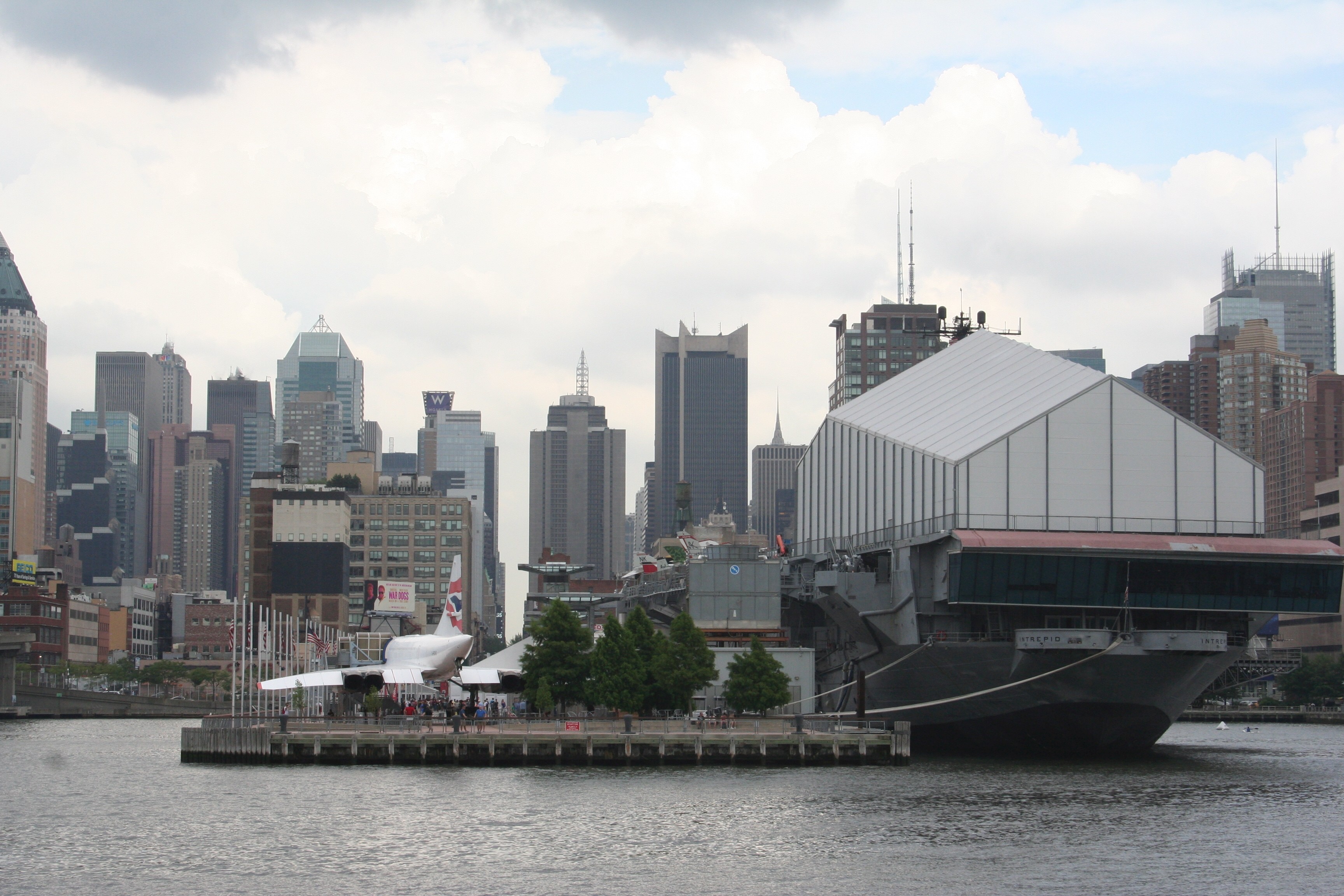
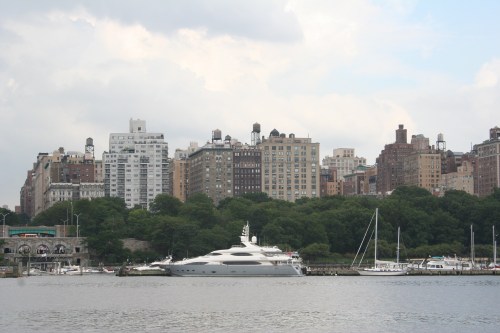 That’s a BIG toy boat tied up at the 79th Street Boat Basin – just what you need if you want to hop down to the Bahamas for the week and your Gulfstream is in the shop.
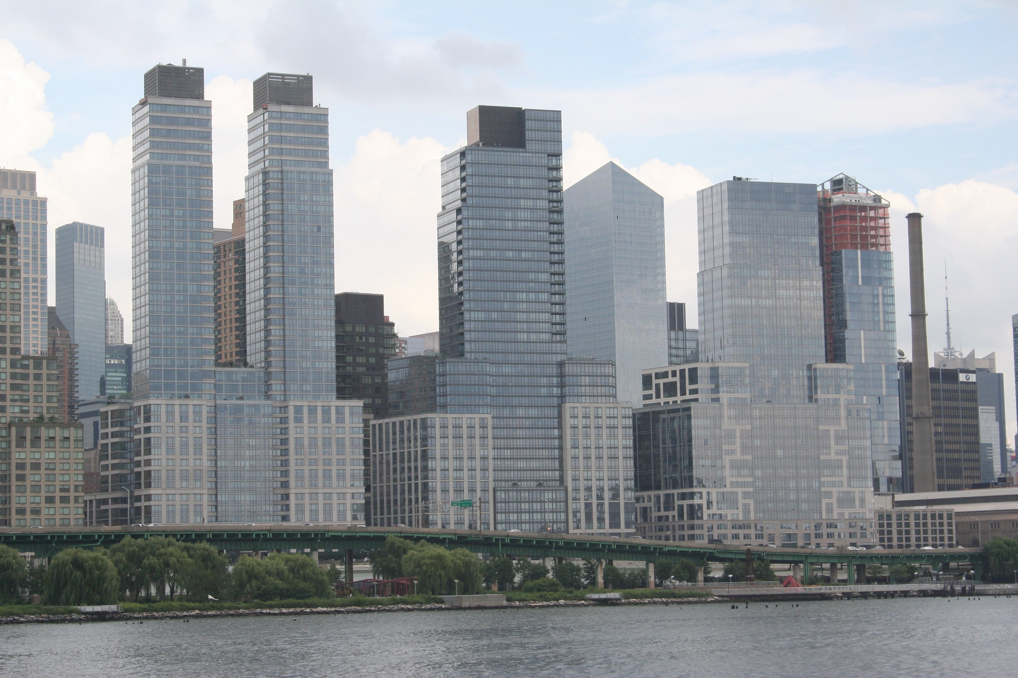
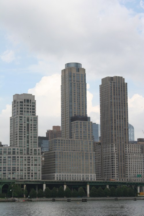 I thought these three buildings were a lot more interesting before I looked up what they were. Let’s just say that they’ve got one of my least-favorite human being’s name plastered all over them. If you zoom in on the far right building you can see the name between the school bus and the green freeway sign.
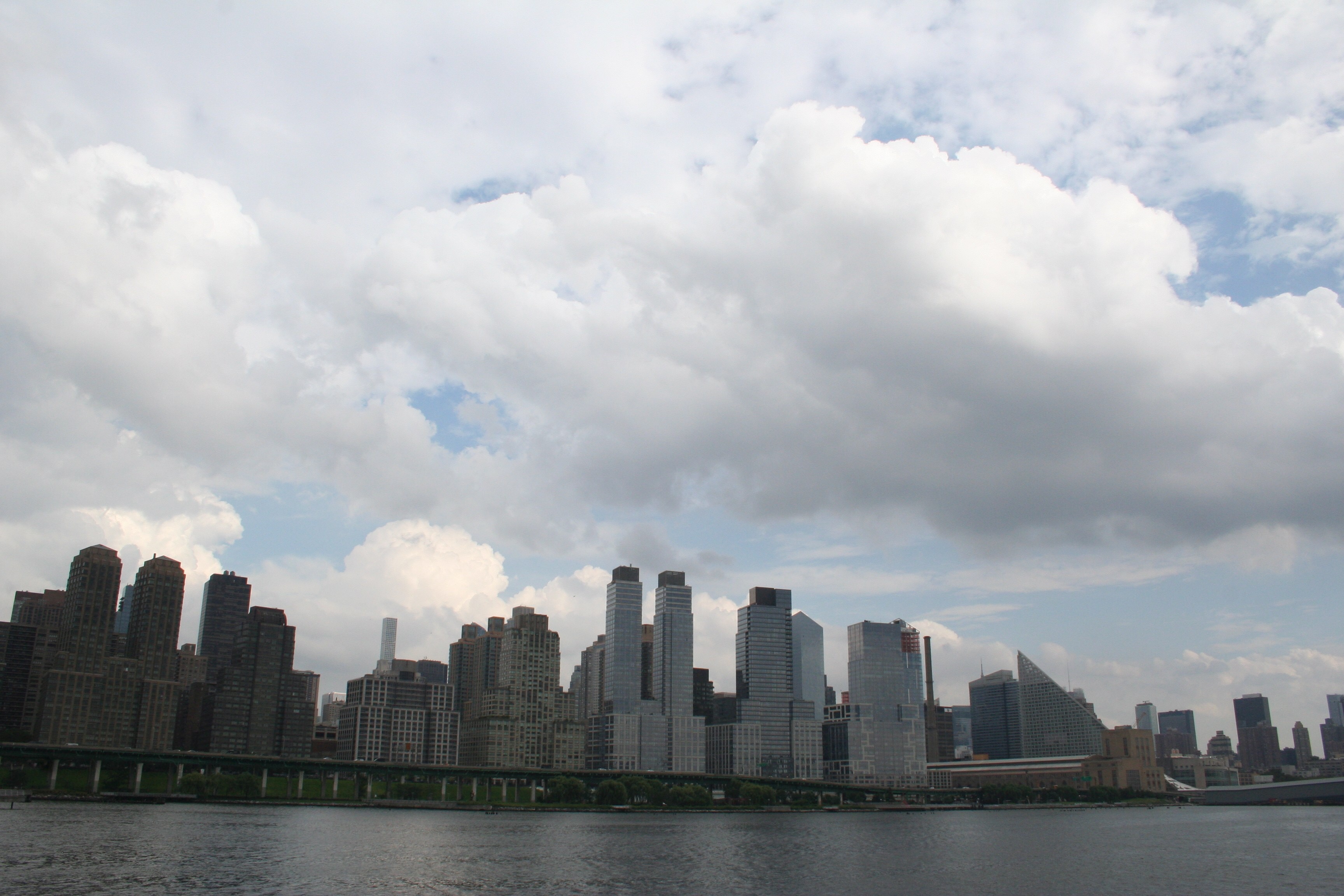
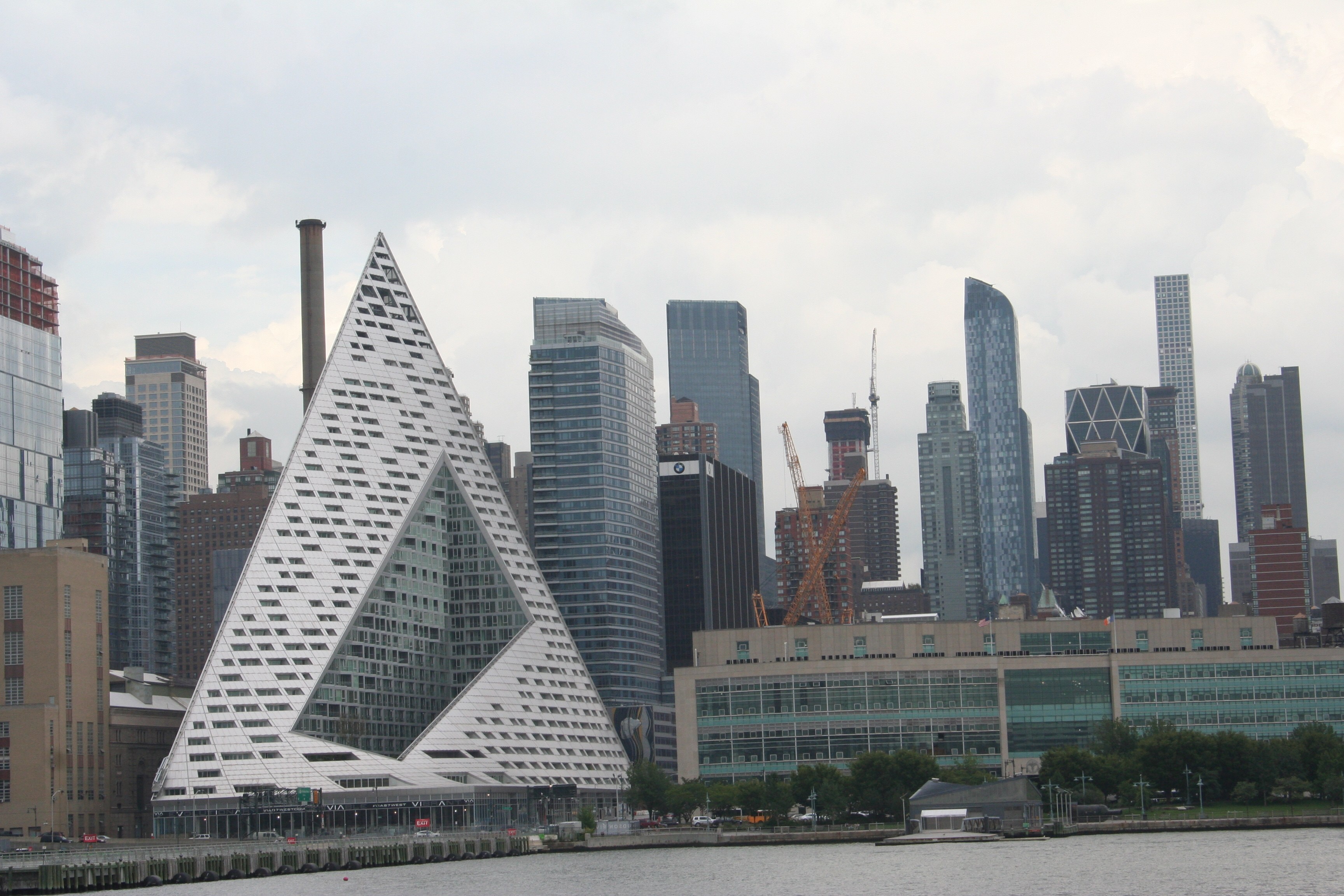
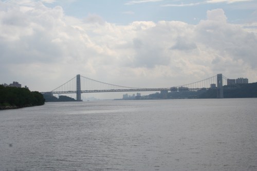 As soon as you turn south on the Hudson River, two things are obvious. First, the Hudson is a honkin’ big river. It’s also a true river, not a glorified tidal estuary like the East River or a man-made ship canal like the Harlem River.
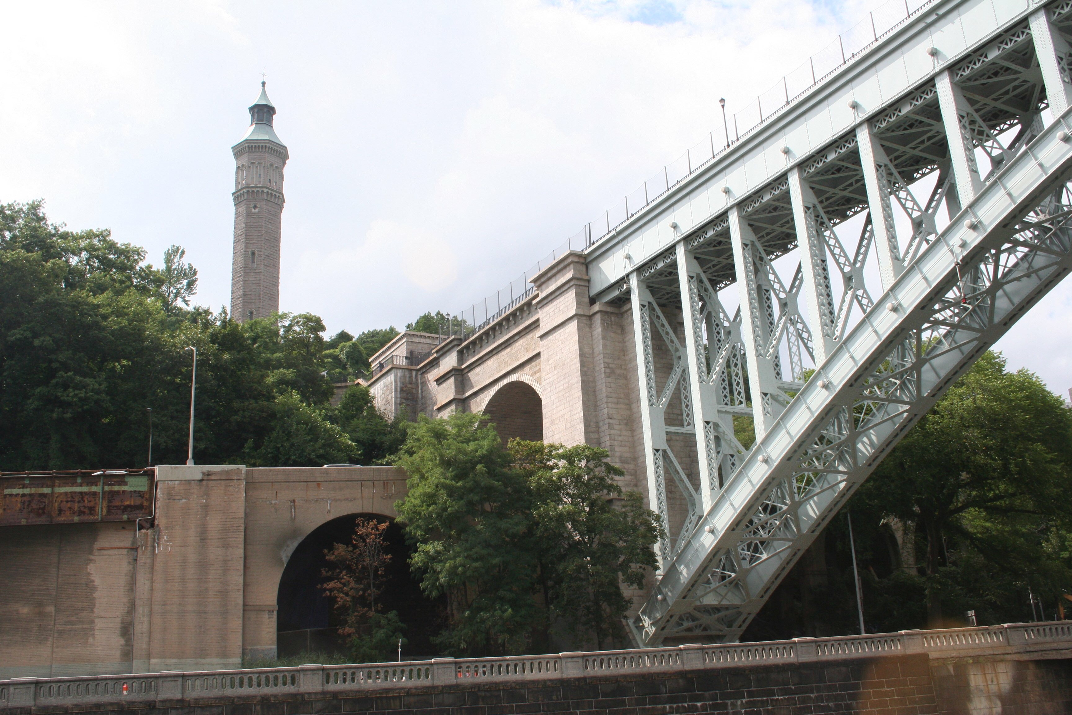
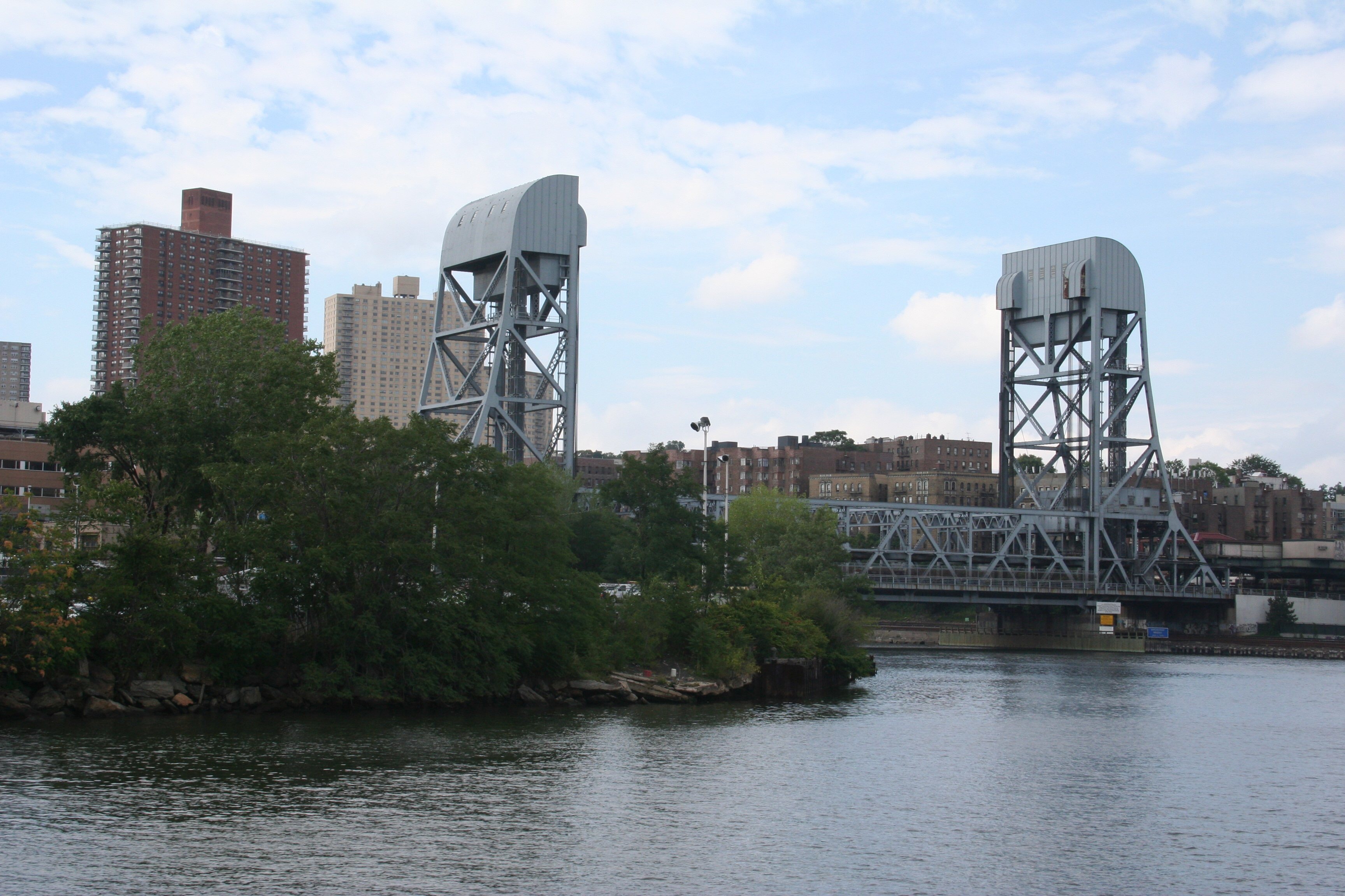
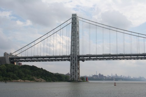 The second thing, of course, is that honkin’ big bridge crossing that honkin’ big river. It’s the George Washington Bridge, connecting Manhattan with New Jersey. Unlike the East River, which we saw with dozens of bridges across it, only the George Washington Bridge crosses the Hudson from Manhattan.
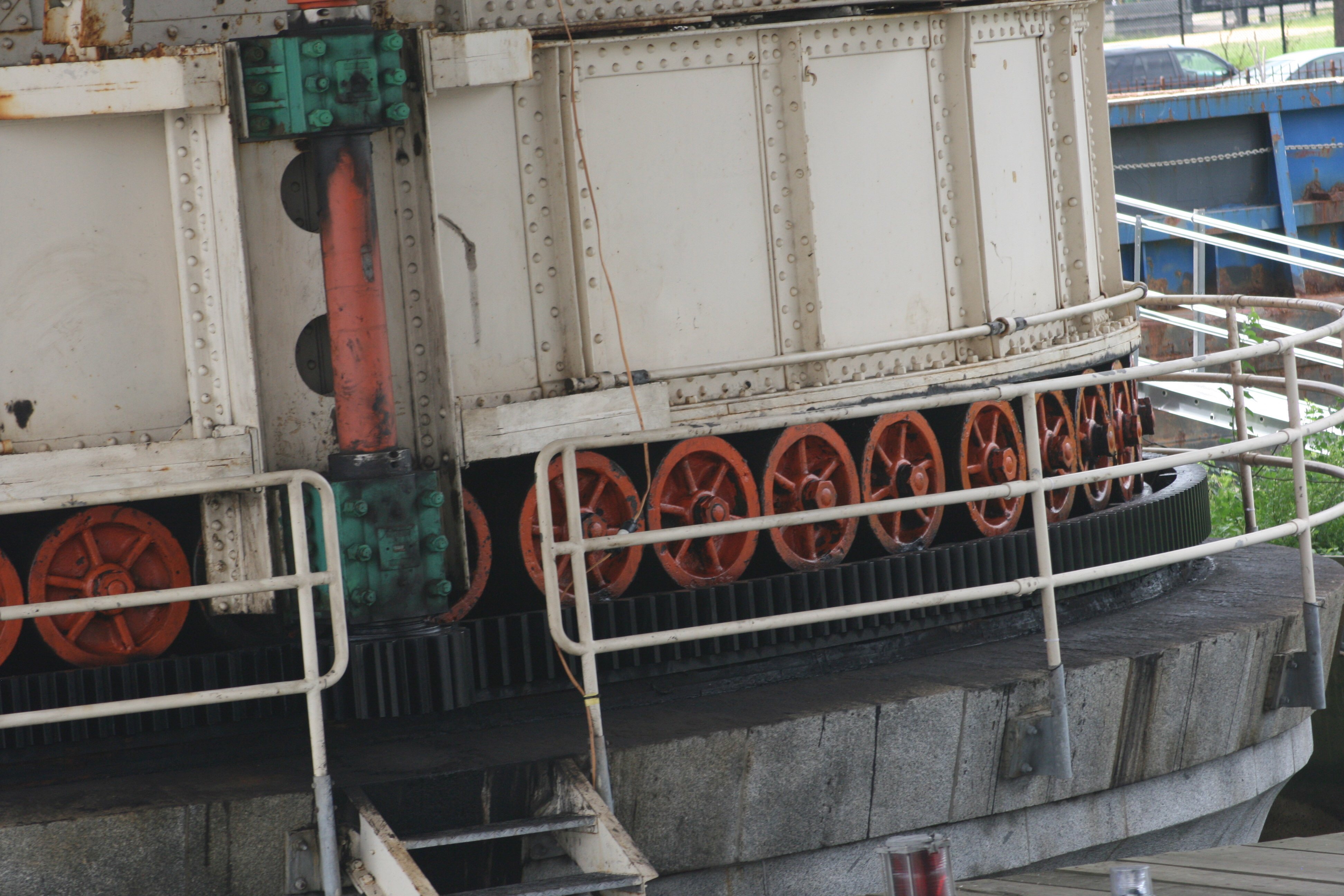
 As we got closer, I noticed something at the base of the East Tower. I had not known it was there or expected it at all, but I immediately knew what it was.
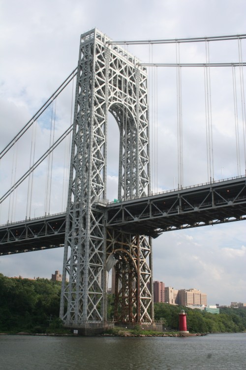 The George Washington Bridge is a tall one, allowing ocean-going freighters and ships to pass underneath. It reminds me of the Golden Gate Bridge in many ways.
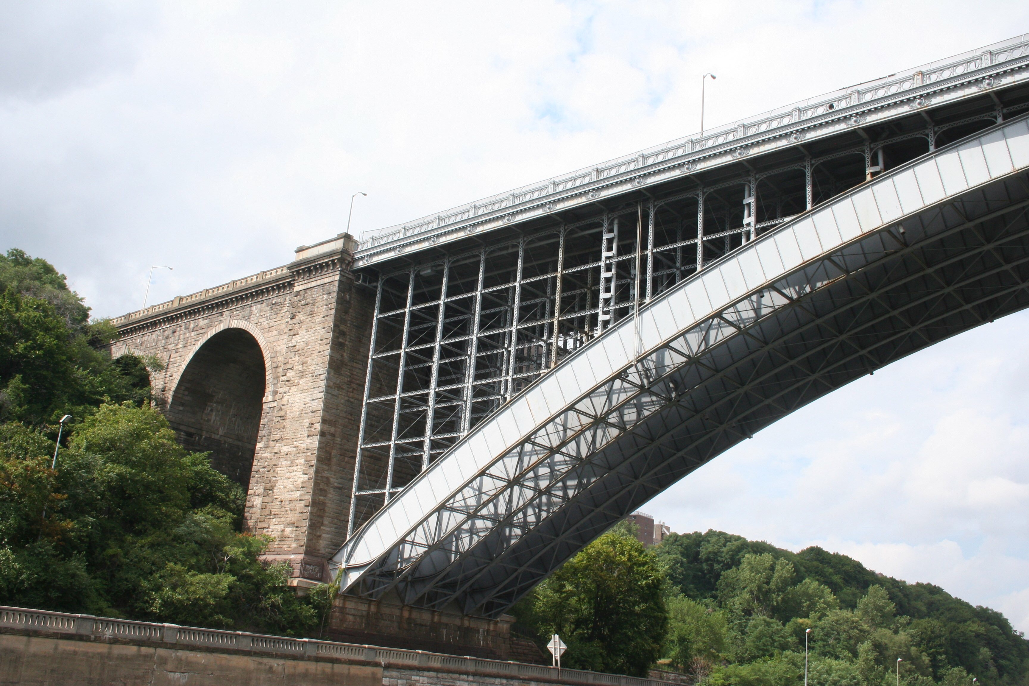
 At the base of the East Tower is The Little Red Lighthouse. The subject of a favorite children’s story, The Little Red Lighthouse and the Great Gray Bridge by Hildegarde Swift, it was to be torn down in 1948, after the bridge was built. However, the beloved book had come out in 1942 and the uproar that followed the announcement that the lighthouse was to be dismantled led the Coast Guard to donate it to the New York Parks Department.
 Not only was I caught off guard by the appearance of The Little Red Lighthouse, I was completely caught off guard by my reaction to it. I remember the story as a favorite of mine from when I was very young, but I don’t remember thinking of it in decades. Suddenly seeing it there took me straight back to being four or five years old. The whole experience was quite moving.
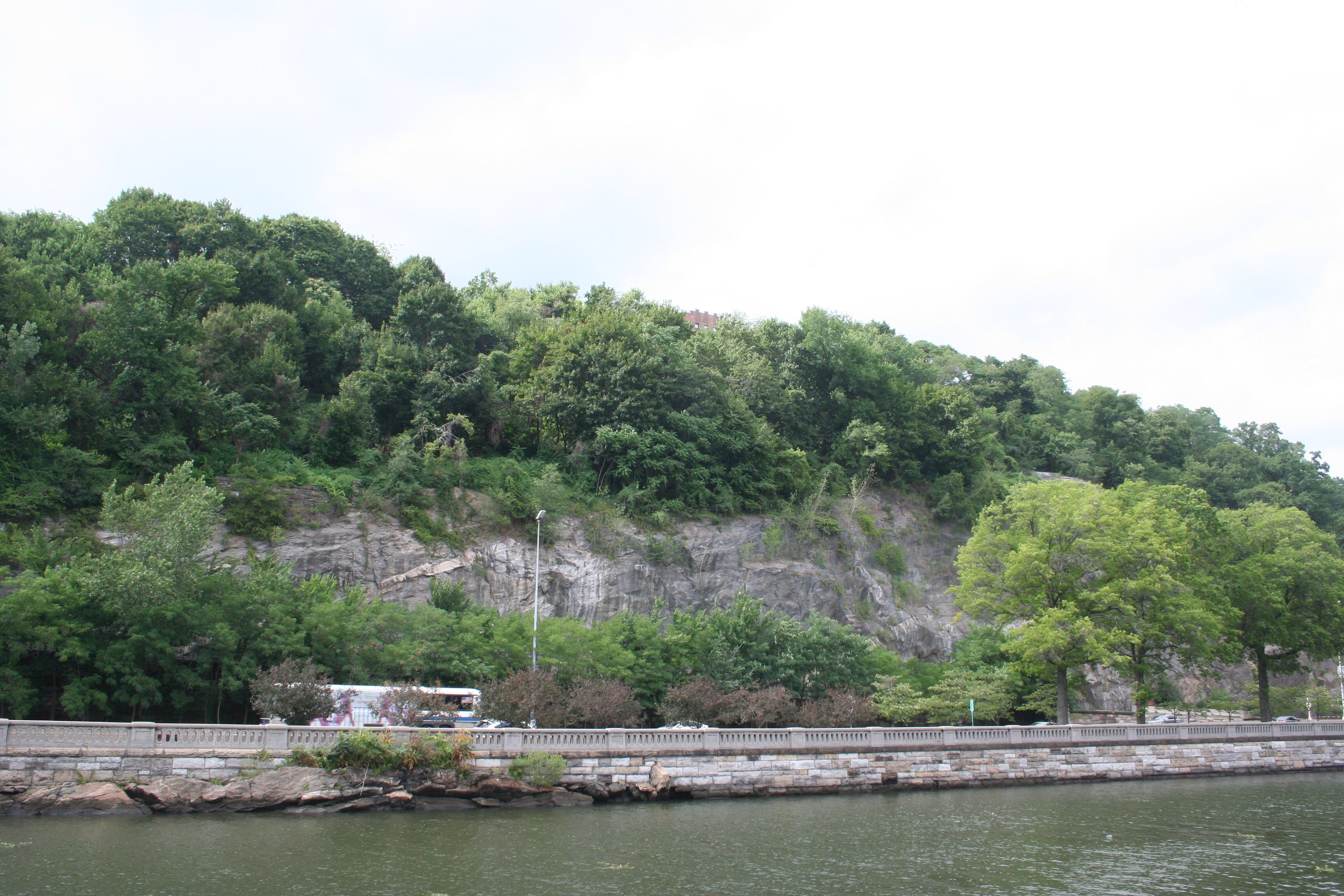
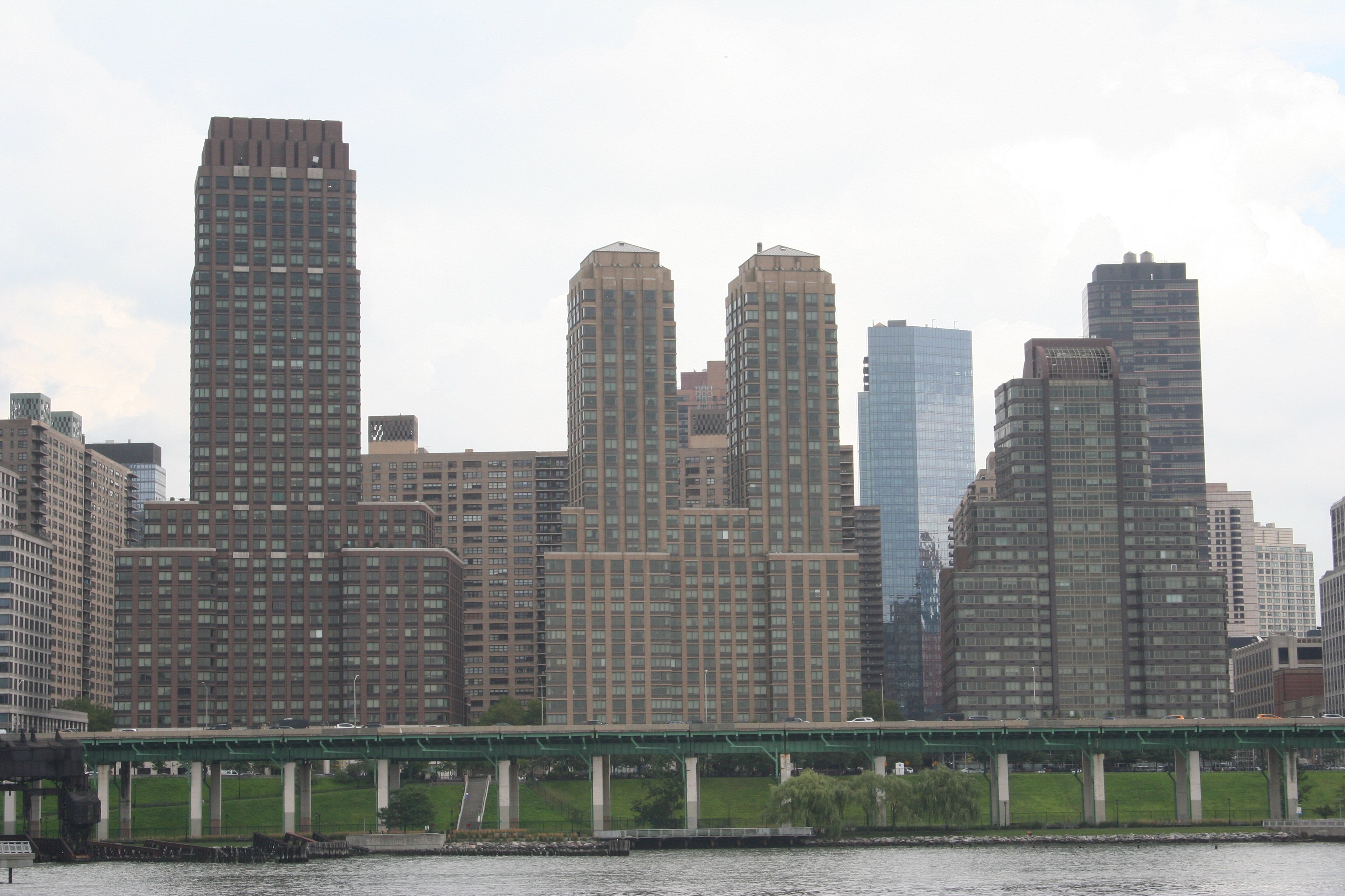
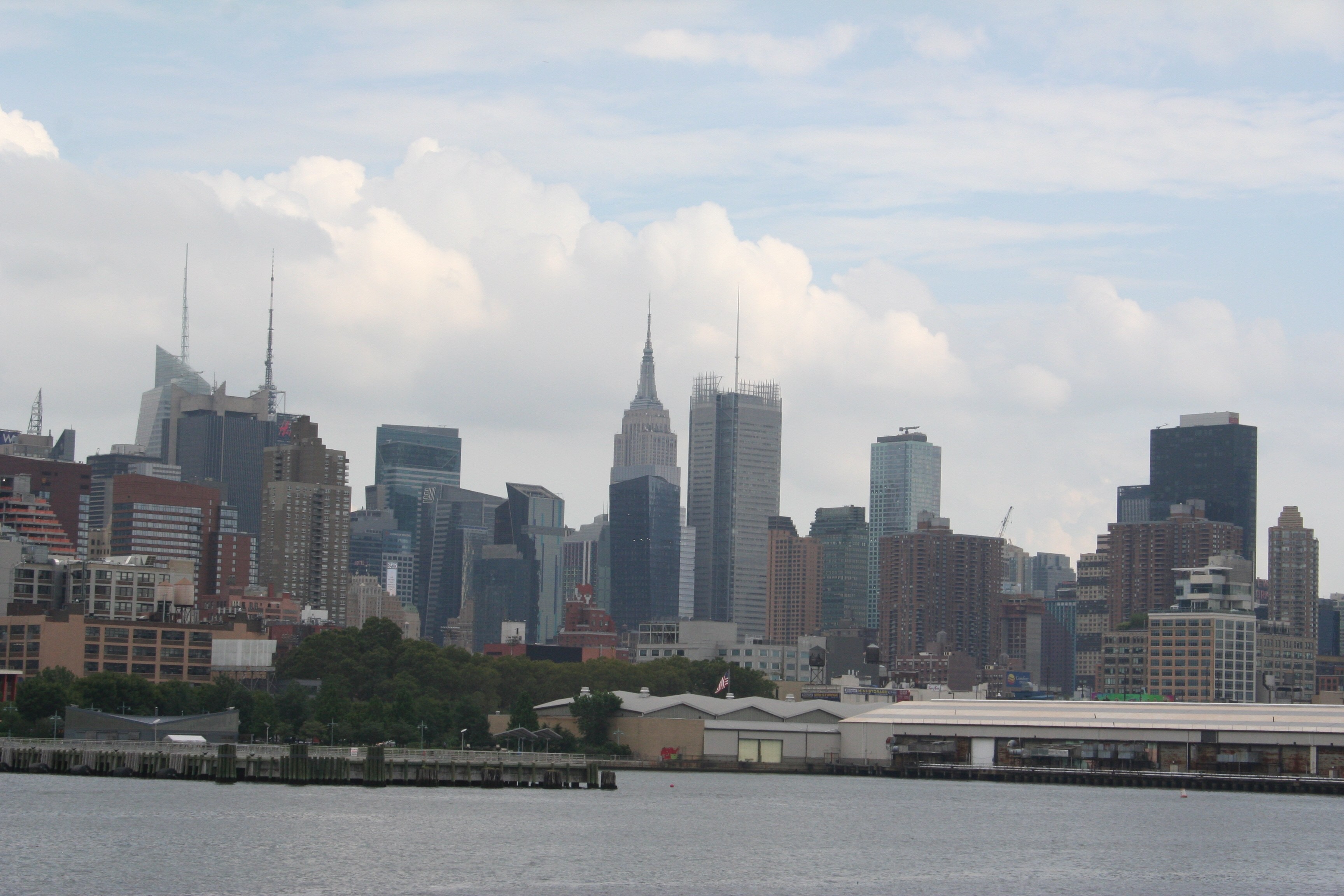
 South of the George Washington Bridge, Upper Manhattan stretches away to the south, with the skyscrapers at the southern tip of the island visible far away in the distance.
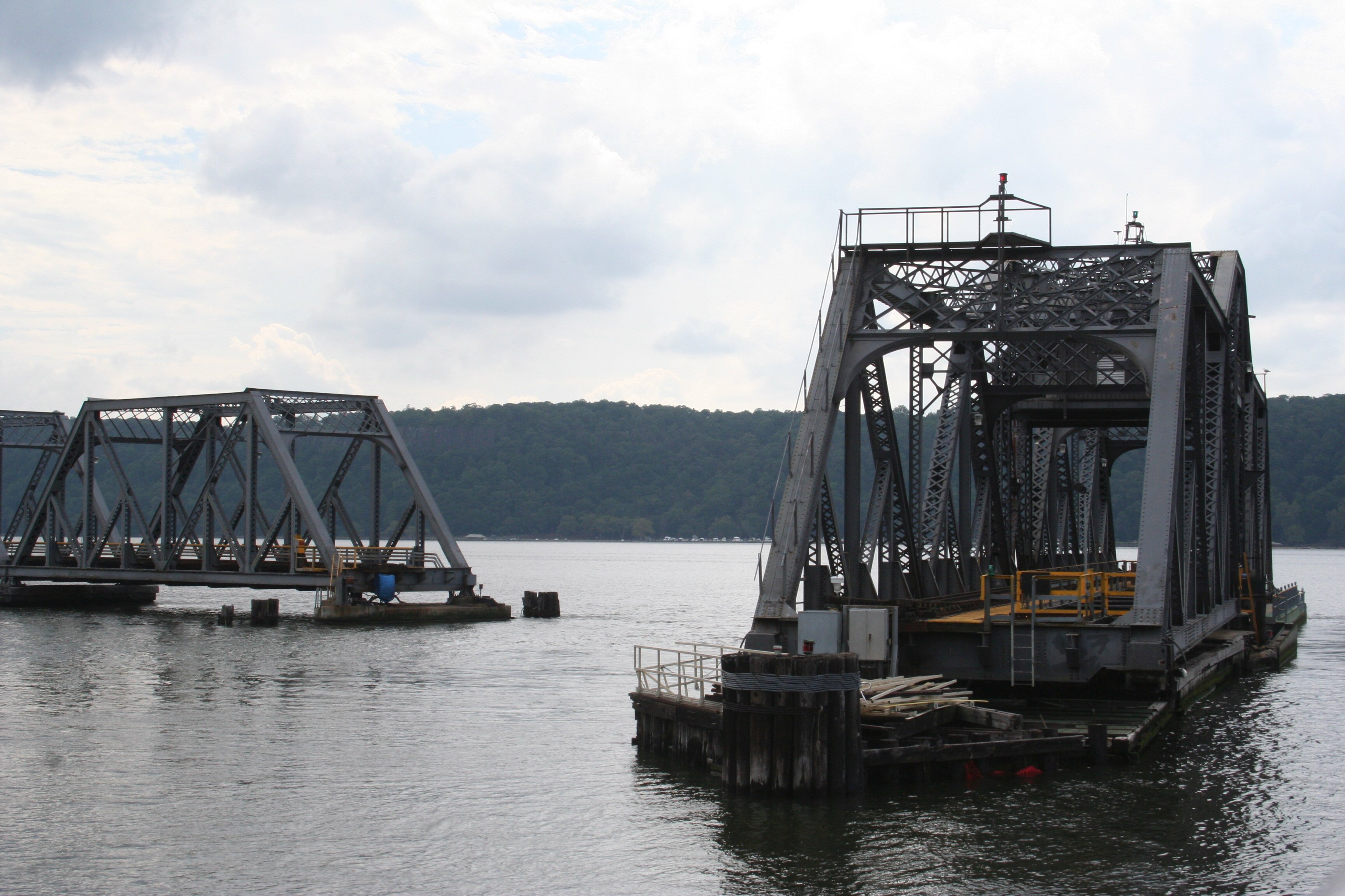
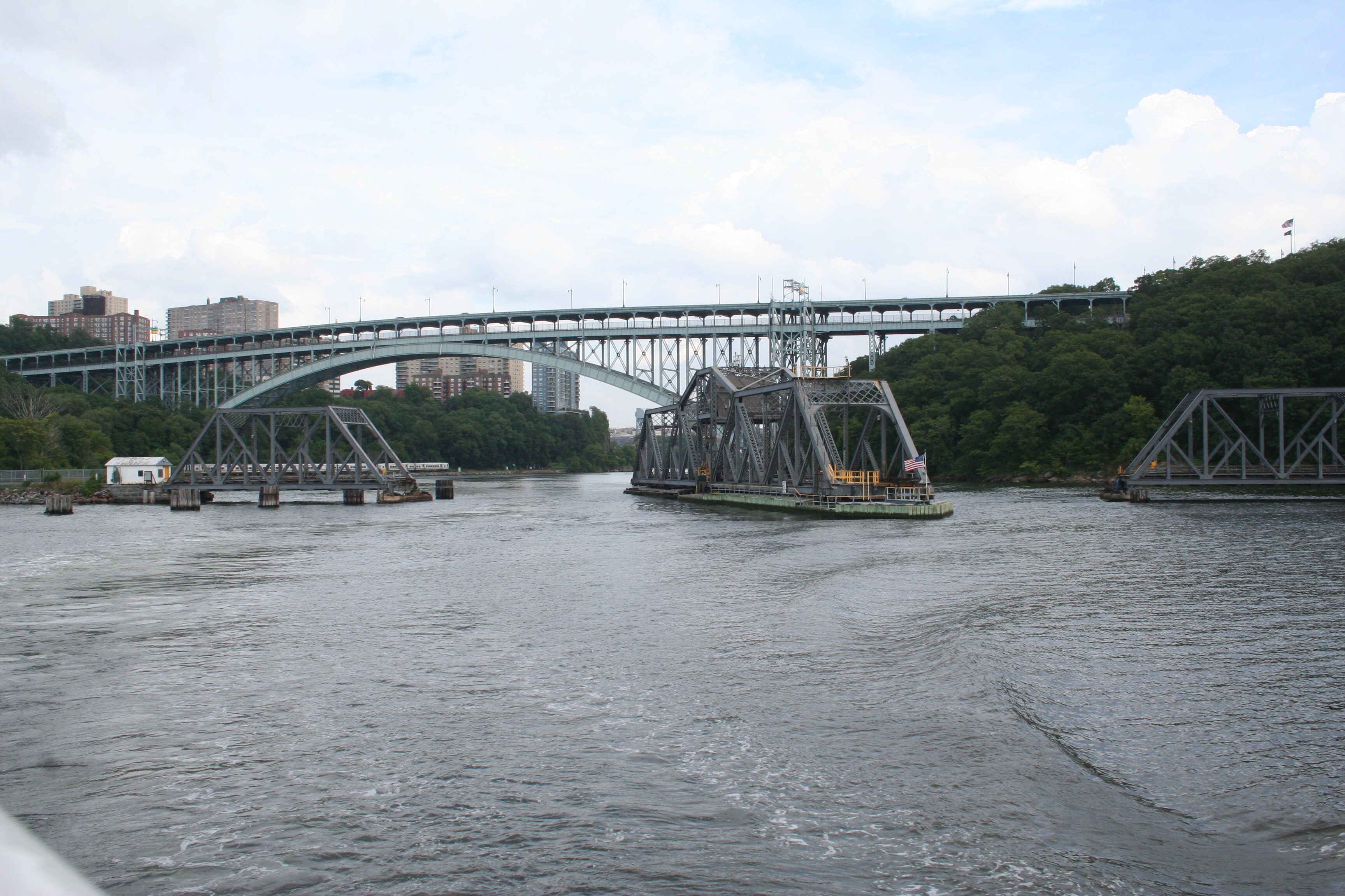
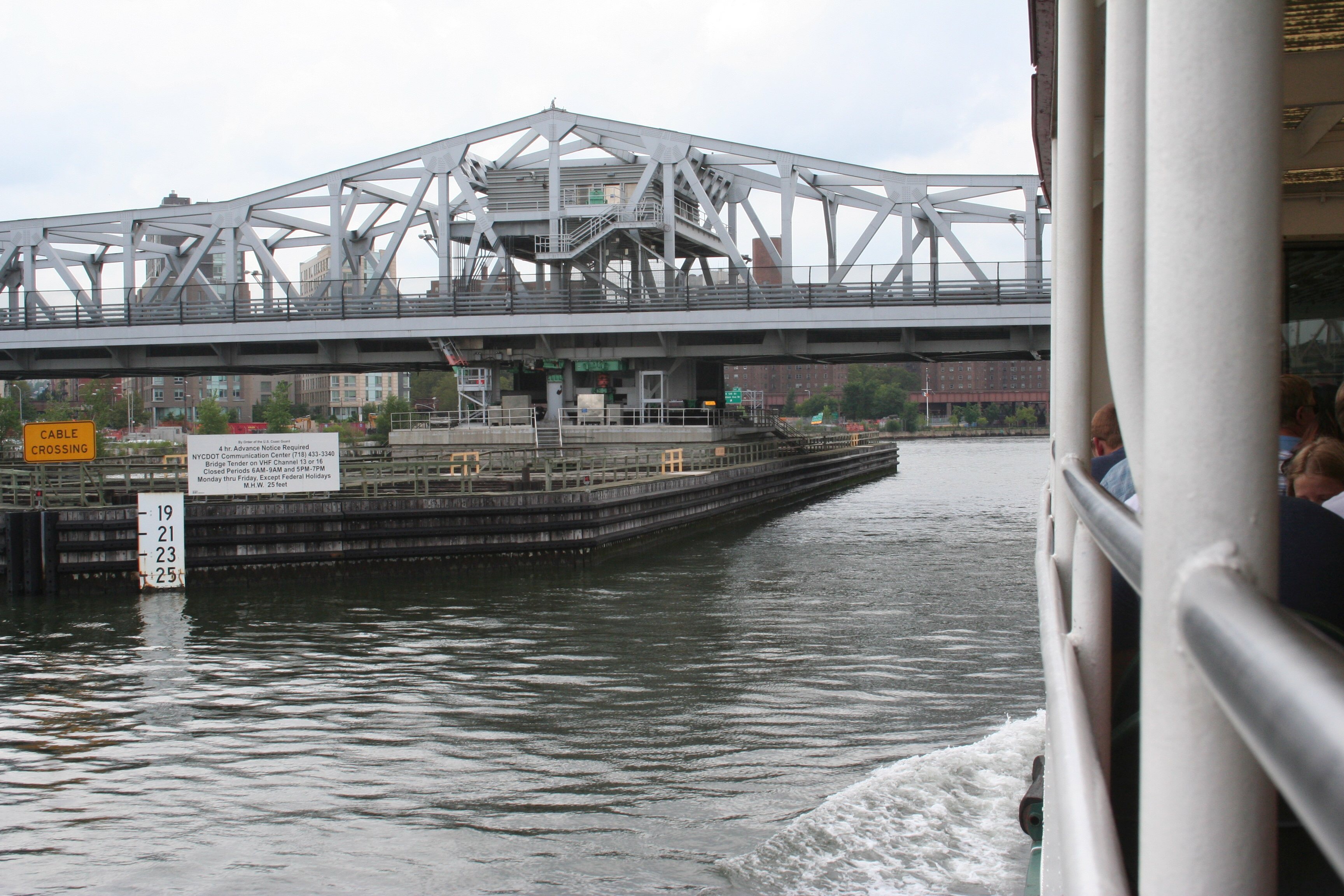
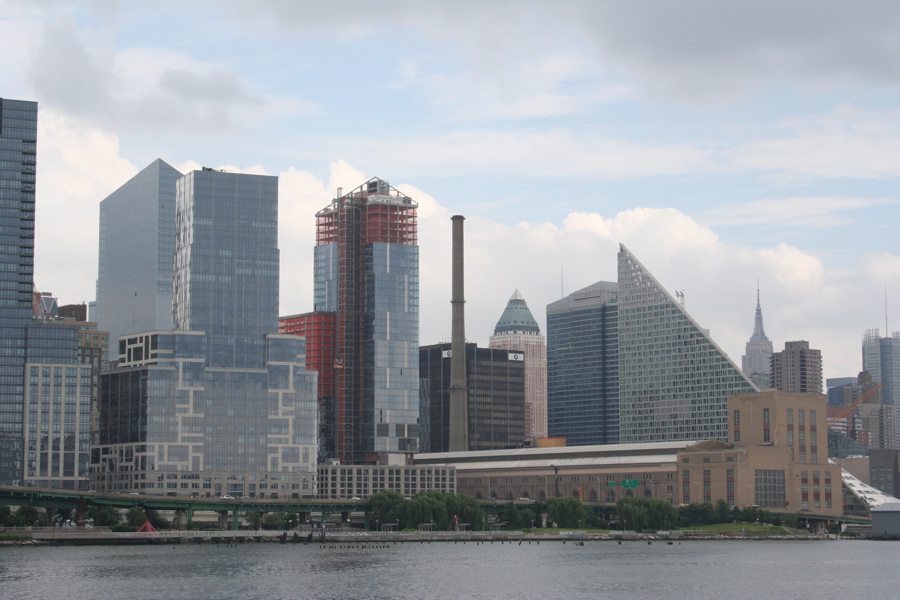
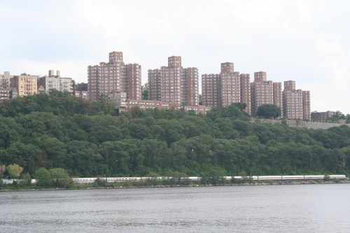 This side of the island not only has more rows of matching high-rise apartments and townhomes, it also has the main north-south train line. Here’s an Amtrak train headed north toward that bridge we just had swung open for us a few minutes earlier.
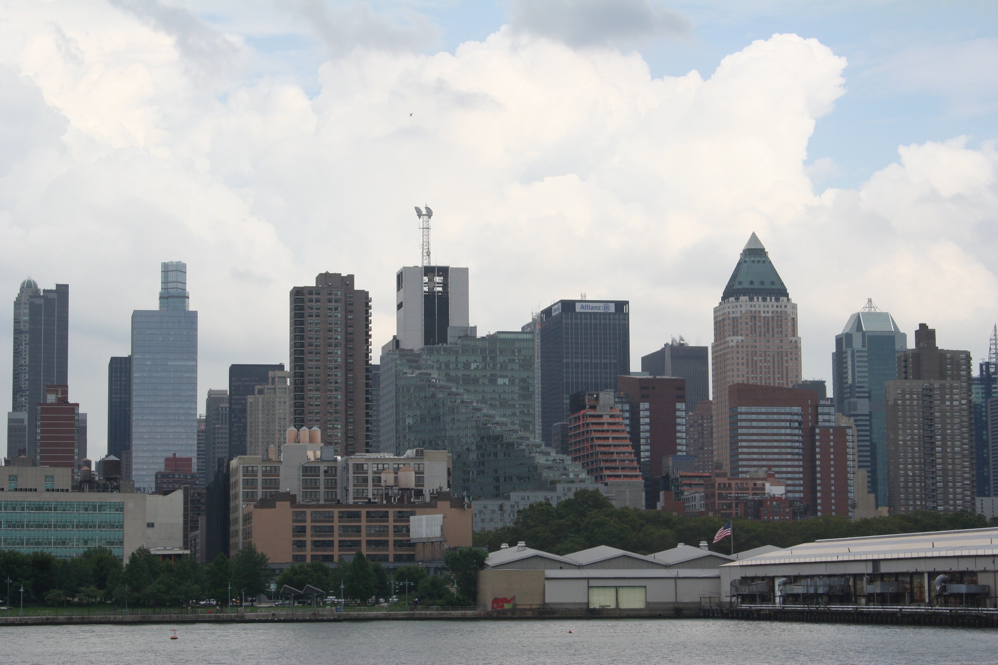
 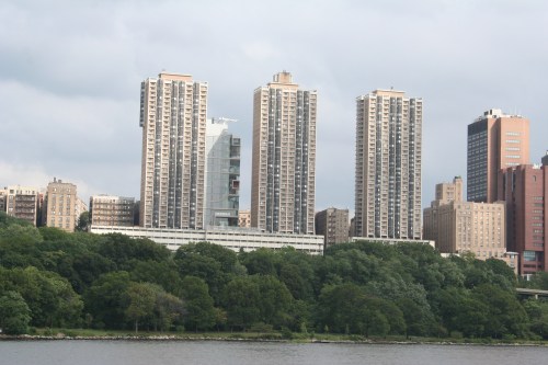 Just beyond these Washington Heights high-rises are several hospitals, including the Columbia University Medical Center and New York Presbyterian Hospital.